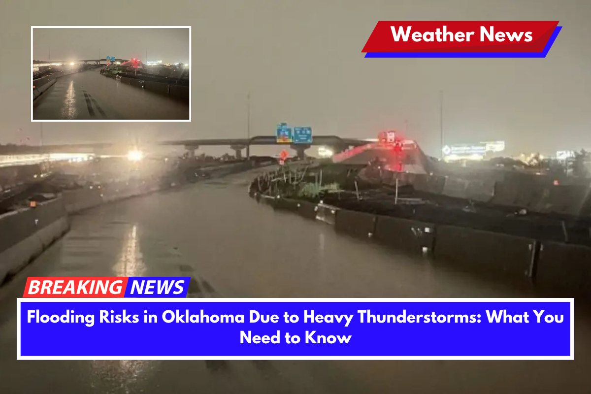
Parts of central and northern Oklahoma are at risk for dangerous flooding overnight as heavy thunderstorms bring significant rainfall to the area. Up to 5 inches of rain could fall by Sunday morning, prompting the National Weather Service to issue Flood Watches for several counties.
Flood Watch and Heavy Rainfall
The National Weather Service in Norman and Tulsa has issued Flood Watches for areas including Oklahoma City, Tulsa, Enid, and Stillwater, effective from 7 p.m. Saturday to 10 a.m. Sunday. Rainfall totals are expected to range from 1 to 3 inches, with some isolated pockets potentially receiving 3 to 5+ inches of rain.
Counties under the Flood Watch include Oklahoma, Canadian, Payne, Tulsa, Osage, Creek, and Lincoln, among others.
These areas are particularly at risk of flash flooding, especially in low-lying zones, small streams, and urban roads, particularly where drainage systems are inadequate. Major roads like I-35, I-40, and the Turner Turnpike could also be impacted by rising waters.
Flooding and Safety Precautions
Flash flooding can occur quickly, and residents are urged to take precautions, including avoiding travel on water-covered roads. Driving through flooded streets is extremely dangerous, and even shallow water can cause vehicles to lose control. It’s essential to monitor weather alerts closely overnight and be prepared to shelter in place if necessary.
Power outages may also occur, so it’s important to charge devices now and have flashlights or backup lighting sources ready. If roads become impassable, it’s safest to stay indoors until conditions improve.


