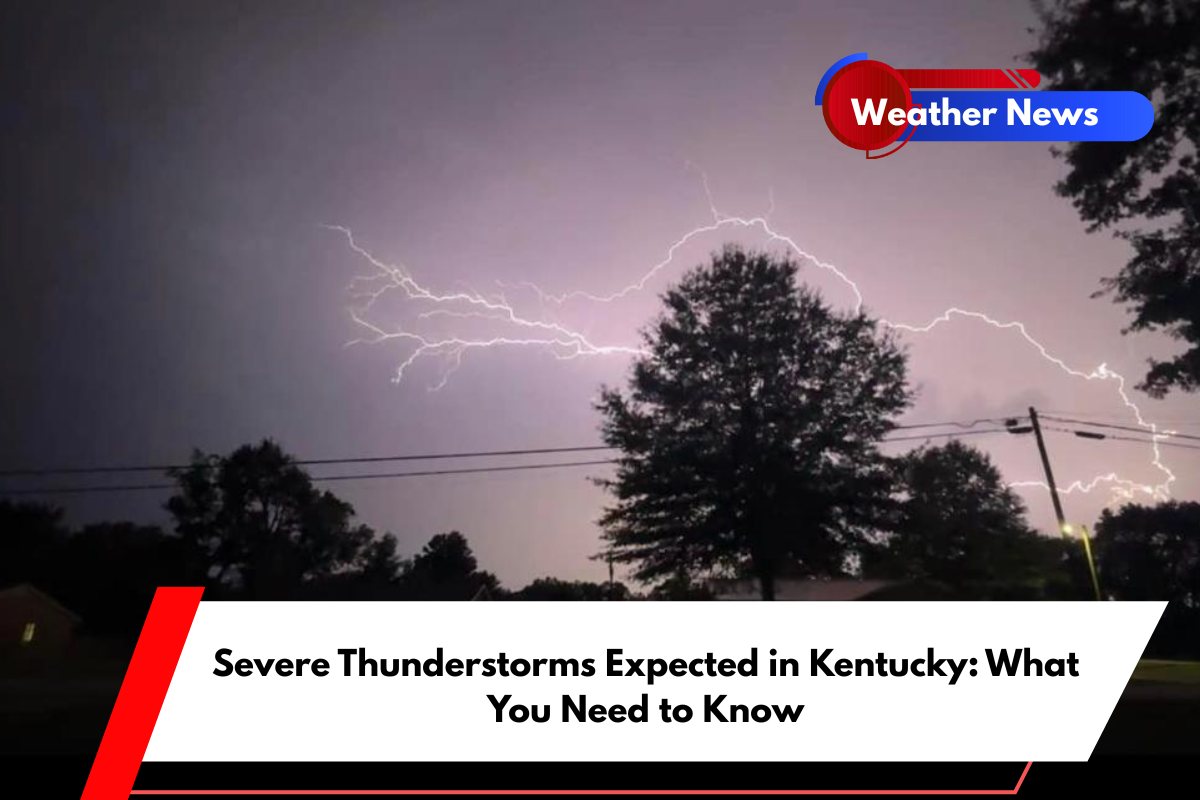
Strong thunderstorms are expected to hit Kentucky late Wednesday afternoon and into the night, bringing potential threats of damaging winds, heavy rain, and possible hail.
The National Weather Service has warned residents to prepare for dangerous weather conditions across the state.
Thunderstorm Threat Across Kentucky
A cold front moving through Kentucky is expected to trigger severe storms, particularly from 5 p.m. to midnight. The worst of the storm will be felt mainly along and north of the I-64 corridor.
Wind gusts could exceed 60 mph, and there’s a risk of localized flooding. A Severe Thunderstorm Watch may also be issued as conditions worsen.
Areas at Risk and Safety Measures
Residents in Jefferson, Oldham, and Shelby counties are especially at risk for power outages and hazardous travel conditions. Storms could bring frequent lightning and brief heavy downpours, making the evening commute and outdoor activities challenging.
Additionally, scattered thunderstorms are expected to continue into Thursday, but these will likely be less intense.
Drivers are advised to avoid flooded roads, and outdoor items should be secured to prevent damage from the strong winds. It’s also important to charge phones and other devices in case of power outages and stay informed by monitoring NOAA Weather Radio or local weather updates.
Weather Improvement Ahead
Conditions will start to improve on Friday, with sunshine returning. However, a heatwave is expected to follow, pushing temperatures into the upper 80s and low 90s by the weekend.
With the heat index climbing into the mid-90s by Saturday, residents should prepare for a hot and humid weekend ahead.


