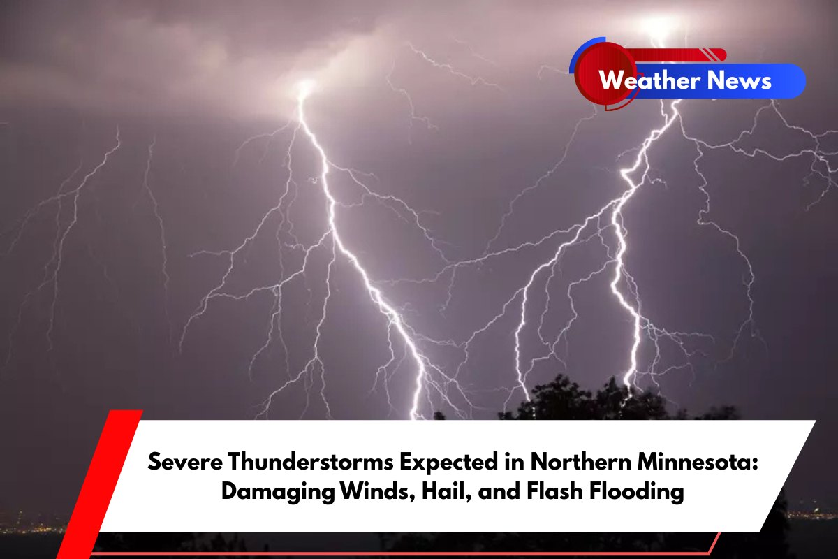
Northern Minnesota is bracing for severe thunderstorms that could bring damaging winds, large hail, and flash flooding beginning late Friday night and continuing into early Saturday morning.
According to the National Weather Service in Duluth, a complex of thunderstorms is set to hit the region, impacting cities like Duluth, Hibbing, and Brainerd, with the potential for dangerous weather conditions.
Severe Weather Forecast
The thunderstorms are expected to develop between 9 and 10 p.m. Friday and last through 6 to 8 a.m. Saturday. As the storms move through, residents can expect widespread damaging winds of up to 60 mph, with isolated gusts reaching 80 mph.
Large hail, up to 2 inches in diameter, is also a possibility, especially across much of the Northland. In addition, a brief tornado or two may occur, particularly in the Walker-to-Brainerd corridor.
Flash Flooding Risk
A major concern with these storms is the risk of localized flash flooding. Areas along and south of the Iron Range, including the Arrowhead and South Shore regions, may receive up to 3 inches of rain overnight.
Communities that have already experienced heavy rainfall earlier this week, like Ely and Iron Range, are at a higher risk of flooding due to saturated ground.
Safety Measures for Residents
Residents are urged to take precautions ahead of the storm. Securing outdoor items to prevent damage from strong winds and avoiding driving through flooded roads are crucial for safety. There is also the potential for power outages, so it’s important to prepare for that possibility as well.
Storm Updates and Timing
As the storm’s timing and severity become clearer, additional updates are expected Friday afternoon. People are advised to stay informed through local weather channels and alerts to ensure they are prepared for the coming storms.


