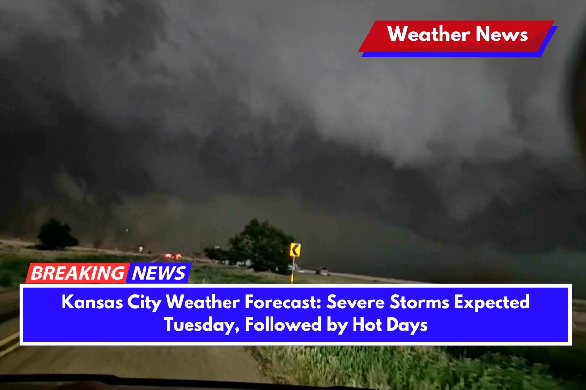
Severe weather is expected to impact northwest Missouri on Tuesday afternoon, with strong thunderstorms bringing the possibility of large hail and damaging winds.
The National Weather Service has warned that these storms are likely to develop after 2 p.m., particularly affecting areas along and north of I-35, including Atchison, St. Joseph, and Kansas City. Residents should be prepared for gusts exceeding 50 mph and hail larger than one inch in diameter. It’s advisable to avoid unnecessary travel and secure outdoor objects to prevent damage.
Once the storms pass on Tuesday evening, the weather will quickly turn warmer, with summer heat starting to build up. By Wednesday, temperatures will climb into the mid-to-upper 80s, and could even hit 90°F by Thursday.
Winds will remain breezy, especially midweek, with gusts reaching 24 mph on Monday and continuing into Wednesday. After the storms on Tuesday, most of the workweek will remain dry, with lower humidity at night helping temperatures to drop into the upper 60s.
However, there is a chance of scattered thunderstorms on Thursday and Friday, particularly in the afternoon hours. Looking ahead, the weekend weather appears unsettled, with daily storm chances through Saturday.
Five-Day Missouri Forecast (June 10–14)
Monday (June 9): Sunny, with a high of 78°F. Winds from the NNW at 6–13 mph, gusting to 24 mph.
Tuesday: Sunny early, with thunderstorms expected after 2 p.m. High of 85°F. Storm risks include hail and damaging winds.
Wednesday: Sunny, with a high near 89°F. Breezy conditions.
Thursday: Showers possible after 1 p.m., with a high of 85°F. Storm chance: 30%.
Friday: Storms likely after 1 p.m. High of 83°F. Storm chance: 38%.


