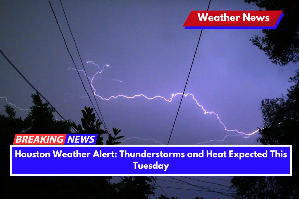
Houston is gearing up for a summer storm and heat combination on Tuesday afternoon, as thunderstorms and sweltering temperatures are likely to impact the area. The National Weather Service forecasts showers and possible thunderstorms between 7 a.m. and 1 p.m., with a second round of storms expected after 1 p.m.
The weather will be driven by a humid air mass moving into Southeast Texas, creating conditions for heavy rainfall and high temperatures. Precipitation chances are at 70%, and localized rainfall could exceed a quarter inch.
Along with rain, the heat index is expected to climb as high as 101°F, particularly along the I-45 corridor and near downtown Houston during breaks in the storms.
Drivers and residents should be prepared for slick roads, especially in low-lying areas prone to ponding. Lightning is also a concern, so outdoor activities, especially those scheduled midday, should be rescheduled or adjusted. Drivers on major routes like the Gulf Freeway and Sam Houston Tollway are urged to slow down, as rain will likely make conditions hazardous, especially during peak travel times.
By Tuesday night, storm chances will persist before skies clear briefly on Wednesday morning. However, this break in the weather will not last long, as more rain and thunderstorms are expected to return in the coming days.
Full Five-Day Weather Outlook for Houston
Monday, June 9: High of 96°F, slight chance of afternoon storms, heat index up to 106°F
Tuesday, June 10: Showers and storms likely, high of 92°F, heat index near 101°F
Wednesday, June 11: Storms return, 70% chance of rain, high near 89°F
Thursday, June 12: Rain likely, high of 88°F, continued humid conditions
Friday, June 13: 60% chance of storms, partly sunny, high of 90°F
Saturday, June 14: Lingering storm risk, high of 92°F with muggy skies


