New Hampshire is gearing up for a hot and stormy start to July. Manchester residents can expect temperatures to soar into the low 90s on Tuesday, July 1, with a heat advisory in place for the region.
On top of the intense heat, severe thunderstorms are also expected, making the day a challenging one for outdoor activities. In this article, we’ll provide details on the weather for the upcoming week, including Tuesday’s heatwave and thunderstorms, along with what you can expect for the 4th of July weekend.
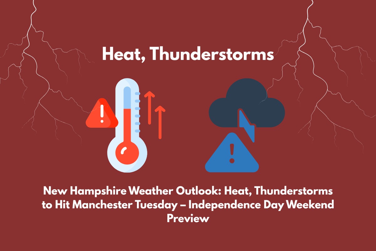
Heatwave and Thunderstorms Expected on Tuesday, July 1
Tuesday, July 1, will be a scorching day in Manchester, with temperatures reaching a high of 91°F. However, the real danger will be the combination of high humidity and soaring temperatures, which will create a heat index that could feel like 95°F by 4 PM.
This intense heat puts vulnerable groups at risk for heat exhaustion or heat stroke, and the National Weather Service has issued a heat advisory to ensure the public stays safe.
For those planning outdoor activities, it’s essential to stay hydrated, wear light clothing, and try to limit exposure to the sun during the hottest parts of the day.
If possible, spend time in air-conditioned spaces. The heat will be especially harsh in the afternoon and evening, so if you need to travel or work outside, take frequent breaks and drink plenty of water.
In addition to the heat, Manchester will also face severe thunderstorms starting after 2 PM on Tuesday. These storms could bring heavy rain, gusty winds, and frequent lightning.
Localized flooding is a concern, particularly in low-lying areas and along roads like Interstate 93. Visibility may be reduced, so be extra cautious if you plan to drive. Consider delaying non-essential travel during this time.
5-Day Forecast for Manchester, NH
While the heatwave and thunderstorms will affect Tuesday, the rest of the week will bring a mix of conditions. Here’s the detailed forecast:
Tuesday, July 1: High of 91°F, low 68°F; Severe thunderstorms likely after 2 PM. Chance of rain: 70%.
Wednesday, July 2: High of 86°F, low 64°F; Mostly sunny with a slight chance of showers.
Thursday, July 3: High of 88°F, low 64°F; Scattered showers expected with a 30% chance of rain.
Friday, July 4 (Independence Day): High of 79°F, low 58°F; Partly cloudy with a chance of light rain.
Saturday, July 5: High of 80°F, low 60°F; Mostly sunny and warm.
Sunday, July 6: High of 82°F, low 61°F; Scattered showers likely with a 30% chance of rain.
Independence Day Weekend Outlook
As we move into the Independence Day weekend, the weather will calm down a bit. Friday, July 4th, is expected to be cooler with a high of 79°F and partly cloudy skies.
There’s a chance of light rain, but it’s still expected to be a great day for outdoor activities. Whether you’re planning to attend a parade, enjoy a BBQ, or watch fireworks, the weather looks favorable for outdoor celebrations.
Saturday, July 5th, will bring more sunshine, with temperatures in the low 80s, making it another pleasant day. However, Sunday, July 6th, may see some scattered showers, so be prepared for a mix of sun and clouds.
Staying Safe During Extreme Heat and Thunderstorms
Given the intense heat and the possibility of severe thunderstorms, it’s essential to take precautions to stay safe. Here are a few tips:
Stay Hydrated: Drink plenty of water, especially in the heat.
Avoid Heat Exhaustion: Take breaks in the shade or indoors, and avoid strenuous activities during the hottest parts of the day.
Monitor Weather Alerts: Pay attention to weather warnings, especially regarding thunderstorms and possible flooding.
Be Prepared for Power Outages: Storms may lead to power outages, so have an emergency kit ready with flashlights, water, and other essentials.
Drive Safely: If you’re driving during the thunderstorms, reduce your speed, keep your headlights on, and watch for flooding on the roads.


