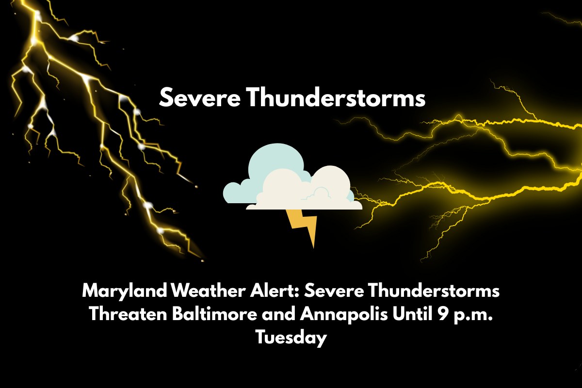
Severe thunderstorms are expected to impact Maryland on Tuesday afternoon and evening, with areas like Baltimore and Annapolis facing strong winds, hail, and potential flooding. A Severe Thunderstorm Watch has been issued, and residents should be ready for possible travel disruptions and safety risks through 9 p.m.
Severe Thunderstorm Watch in Effect
The National Weather Service has issued a Severe Thunderstorm Watch for Baltimore City, Montgomery County, Frederick, Anne Arundel, and the entire Eastern Shore of Maryland. This watch will last until 9 p.m. EDT today and covers nearly all of central, southern, and eastern Maryland.
As the storms move through, gusty winds of over 60 mph, large hail, and sudden downpours are expected. The intensity of these storms may increase rapidly, so residents should stay alert.
Potential Hazards
The most significant threats from these storms include damaging wind gusts, hail, and flash flooding, especially along major roads like I-95, U.S. Route 50, and Route 301.
Commuters during the evening rush hour should expect dangerous driving conditions due to heavy rain and possible flooding. Downed trees and utility lines could cause power outages in some areas.
Local authorities advise residents to secure loose outdoor items and avoid driving on flooded roads. It’s also important to ensure that mobile devices are fully charged in case of a power outage.
Coastal Areas and Marine Hazards
The coastal regions of Calvert, St. Mary’s, and Worcester counties are at additional risk due to marine-related hazards. High winds and rough waters in the Chesapeake Bay may make boating dangerous. If you live near the water, take precautions to stay safe.


