Wilmington, N.C. – Thunderstorms are set to hit southeast North Carolina on Sunday afternoon, potentially causing travel disruptions and affecting outdoor activities. Strong winds and heavy rain are expected to begin after 2 p.m. and may continue into the evening, with gusts of up to 25 mph and rainfall between 0.5 and 1 inch across the region.
Thunderstorms and Gusty Winds Expected Sunday Afternoon
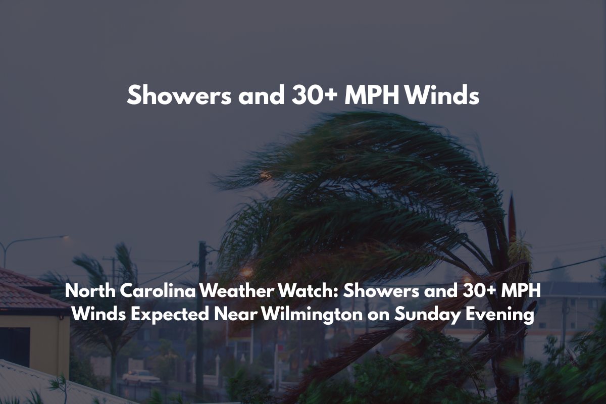
The National Weather Service in Wilmington has warned that scattered thunderstorms will intensify by mid-afternoon, bringing gusty winds and heavy rainfall. The storms are expected to affect areas like New Hanover, Brunswick, and inland Pender counties, with a chance of localized flooding, especially in low-lying or poorly-drained areas.
Winds could reach up to 30 mph in some locations, and the heavy rain could make roads slick and reduce visibility.
Drivers along I-140 and U.S. Route 74 should be prepared for rapidly changing road conditions between 2 p.m. and 8 p.m., the peak of the storm activity. Beachgoers and boaters near the Cape Fear coast should be cautious of windy conditions that could impact outdoor plans.
Safety Tips for the Storm
Residents are advised to secure loose outdoor items that could be blown away by strong winds. Avoid driving on flooded roads and exercise caution when outdoors during the storm.
If you are near the coast, keep an eye on the waves and be aware that storm surges may occur. The storm will likely persist into Sunday night, so be prepared for possible delays or changes to your plans.
Five-Day Weather Forecast for Wilmington, NC (July 6–11)
Here’s a quick look at the forecast for the upcoming days:
Sunday (July 6): Showers and thunderstorms likely after 2 p.m., with highs near 86°F and wind gusts up to 25 mph.
Monday (July 7): Thunderstorms continue after 2 p.m. with a high near 89°F. Evening rain chances remain.
Tuesday (July 8): A 50% chance of storms with highs near 91°F. Partly sunny with scattered clouds.
Wednesday (July 9): Showers possible in the afternoon with a high near 91°F.
Thursday (July 10): Continued summer storms likely, with a high near 90°F.


