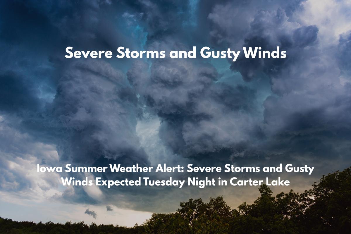
Carter Lake, Iowa, is bracing for severe weather this Tuesday night, as thunderstorms are expected to sweep through the area with damaging winds, hail, and the possibility of a brief tornado.
The National Weather Service in Omaha/Valley has forecasted a 60–90% chance of storms starting after 6 p.m. on Tuesday, July 8, continuing overnight and into early Wednesday morning.
What to Expect from the Storms
The weather will begin as mostly sunny and humid on Tuesday afternoon, with a high of around 85°F. However, by evening, conditions will turn unstable as storms develop.
As the evening progresses, storm chances will sharply increase, especially in areas like Carter Lake and nearby parts of eastern Nebraska and western Iowa.
These storms could bring strong winds, small hail, and heavy downpours, with the risk of a brief tornado. The storm risk will peak overnight, with the potential for brief power outages and hazardous conditions.
How to Prepare for the Storms
Residents in Carter Lake should take several precautions ahead of the storm. First, secure any outdoor furniture or items that could be blown away by strong winds.
It’s also important to keep your phones charged in case of power outages and monitor local weather updates for any changes or additional warnings. The National Weather Service may activate storm spotters Tuesday night to monitor severe weather as it develops.
Looking Ahead: What’s in Store for the Rest of the Week
Following Tuesday night’s storms, Carter Lake residents can expect daily rain chances through the weekend. Here’s a quick look at the five-day forecast:
Tuesday, July 8: High of 85°F, with a 30% chance of afternoon storms. Storm chances increase to 60% after 6 p.m., lasting into the overnight hours.
Wednesday, July 9: Mostly sunny, high near 88°F. A slight chance of storms in the morning, then dry conditions will prevail.
Thursday, July 10: High of 90°F, with a 50% chance of storms, especially after 5 p.m.
Friday, July 11: High of 82°F, with a 60% chance of showers and thunderstorms, especially in the afternoon and evening. Breezy and cooler at night.
Saturday, July 12: Sunny and dry, with a high around 87°F. Winds will be calmer, and the summer warmth will return.


