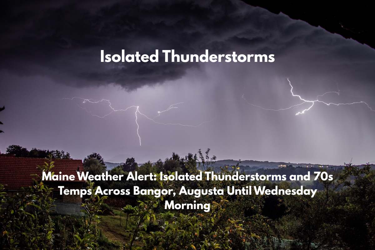
Caribou, Maine – A round of isolated thunderstorms is expected to impact southern and central Maine this afternoon, including Bangor, Lewiston, and surrounding areas. These storms will bring the risk of heavy rain, gusty winds, and a few rumbles of thunder, which may disrupt travel and outdoor activities.
What to Expect:
Timing: Thunderstorms will be most active from midday through early evening on Tuesday.
Temperatures: Expect highs to climb into the low to mid 70s.
Rainfall & Flooding: There is a marginal risk for excessive rainfall, with minor street flooding possible in poor drainage areas. The most affected areas will be from Dover-Foxcroft to Portland.
Travel Impact: Drivers on I-95 and Route 2 should be alert for reduced visibility and ponding on roadways, especially in the afternoon. If you’re traveling, expect brief downpours and gusty winds that could impact visibility.
Far Northern Areas: Northern cities like Caribou and Houlton will experience cooler temperatures and fewer storms.
What You Can Do:
Stay Alert: Residents are encouraged to stay informed with local alerts, as some storms could bring brief, strong winds. If you’re outdoors, it’s important to stay cautious of sudden weather changes.
Charge Devices: Power outages can occur during storms, so charge your devices in advance.
Outlook:
Conditions are expected to improve overnight, with Wednesday starting sunny. However, clouds will return by late afternoon, and the potential for more showers remains. This storm pattern is typical for early July in Maine, though localized impacts may still cause disruptions.
Further Alerts: Keep an eye on local weather reports, as additional advisories may be issued if storms intensify or flooding risks increase. Warnings remain in effect through tonight.
Stay safe and plan accordingly for the storms expected in the coming hours.


