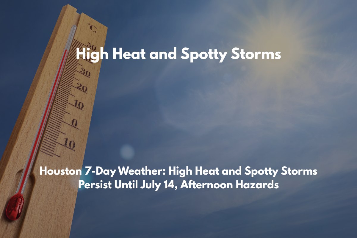
Houston, Texas – Residents across southeast Texas are facing another week of high heat and daily afternoon thunderstorms. As temperatures climb into the upper 90s and low 100s, the National Weather Service Houston/Galveston warns of continued hot conditions, especially in Houston, College Station, and surrounding areas.
What to Expect:
High Temperatures: Maximum temperatures will reach up to 98°F in areas like League City and Livingston, while Houston will hover around 94°F through Monday, July 14.
Overnight Lows: Nights will remain warm and muggy, with temperatures rarely dropping below the upper 70s. Along the coast, Galveston will see low 80s at night.
Rain Chances: Daily rain chances will remain elevated, ranging from 30% to 70% through Thursday, particularly in Baytown, El Campo, and the Houston metro area.
Afternoon Storms: Expect thunderstorms with the potential for localized flooding, gusty winds, and lightning, especially impacting major roads like I-45 and I-10. These storms will also increase the risk of hazardous driving conditions during peak afternoon hours.
Hazards to Watch:
Boaters & Coastal Communities: Marine wind gusts could reach up to 21 knots and offshore wave heights may hit 4 feet, particularly near Matagorda Entrance. Coastal residents and boaters should stay alert.
Heat Advisory: Due to the high temperatures and humidity, heat indices will be dangerously high, making outdoor activity risky. Residents are urged to hydrate often, take breaks in cooler areas, and limit time outside during the hottest parts of the day.
Outlook:
- The hot, humid pattern with scattered storms is expected to continue through the week, resembling early July trends. While no major cooldown is expected, conditions may improve slightly by next week.
Five-Day Hyperlocal Forecast:
Tuesday: High 94–98°F, Low 75–78°F, Rain Chance 50–70%, Afternoon storms likely.
Wednesday: High 92–97°F, Low 75–78°F, Rain Chance 55–65%, Muggy nights, PM downpours.
Thursday: High 91–96°F, Low 73–78°F, Rain Chance 40–55%, Scattered afternoon storms.
Friday: High 92–97°F, Low 75–78°F, Rain Chance 20–30%, Mostly hot and humid.
Saturday–Monday: High 94–98°F, Low 75–84°F, Rain Chance 25–45%, Isolated storms, continued heat.
Stay prepared for continued heat and afternoon thunderstorms this week. Keep an eye on local forecasts and weather alerts for any updates on storm intensity or changes to advisories.


