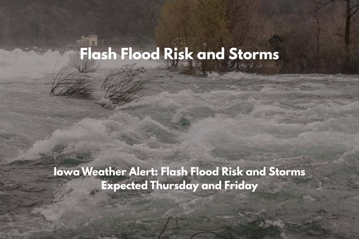
Des Moines, Iowa – Central Iowa is bracing for heavy rain and strong thunderstorms starting Thursday afternoon, with the possibility of flash flooding that could disrupt travel along I-35 and I-80 by Friday.
The National Weather Service in Des Moines forecasts a 30% chance of storms beginning Thursday morning, which will increase to 70% by Friday afternoon. While total rainfall amounts are expected to range from a quarter to half an inch, localized areas could see higher totals, potentially causing creeks and rivers to swell as the weekend approaches.
South winds of 5-8 mph will accompany daytime highs in the mid-80s on both Thursday and Friday. Thunderstorms are expected Thursday night, with the strongest downpours likely on Friday afternoon and evening. While no storm spotter activation is expected yet, conditions may change quickly if storm development intensifies.
Saturday will provide a break in the weather, with mostly sunny skies and highs near 82°F. The pleasant weather will continue through Monday, with dry, partly to mostly sunny conditions and warming temperatures, rising from the mid-80s on Sunday to 89°F by Tuesday.
5-Day Forecast for Des Moines:
Thursday (84°F): Scattered storms, mainly before 1 p.m.
Friday (85°F): Thunderstorms likely after 1 p.m., 70% chance
Saturday (82°F): Mostly sunny, dry
Sunday (86°F): Sunny, continued warm
Monday (88°F): Mostly sunny, seasonal


