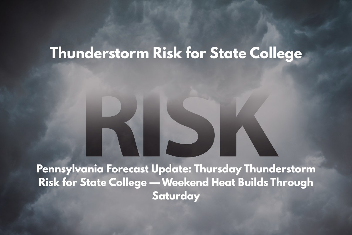
State College, PA – Thunderstorms are set to develop across central Pennsylvania Thursday afternoon, bringing the potential for lightning, brief downpours, and possible travel slowdowns—especially along US-322 near State College.
According to the National Weather Service in State College, showers may begin as early as 2 p.m. Thursday, with storm chances increasing through the evening. Afternoon highs will reach around 85°F, with calm winds turning southwest near 5 mph. While rainfall totals are expected to remain light, isolated thunderstorms could bring heavier bursts of rain.
What to Expect Thursday:
Storm Risks: Thunderstorms likely to develop after 2 p.m.
Travel Advisory: Drivers should allow extra time for travel Thursday afternoon and evening, particularly along US-322. Avoid flooded roadways.
Outdoor Activities: Event planners and outdoor workers are encouraged to monitor radar updates and have shelter options ready.
Weekend Forecast: Heat and Intermittent Storm Risks
As the weekend approaches, Friday and Saturday will bring more heat and occasional storm risks:
Friday: Highs will reach 86°F, with a 30% chance of afternoon storms. There will be dry, sunny periods throughout the day.
Saturday: Expect 89°F with mostly sunny skies, followed by scattered afternoon storms. Quick bursts of rain are possible but will be interspersed with long dry stretches.
Sunday: Greater Rain Risk
Sunday will see the greatest rain threat in the five-day forecast. Expect a 70% chance of storms after 2 p.m., with highs in the mid-80s. Rain could continue into Sunday night and Monday, though chances will ease to 40% by Monday morning.
5-Day Forecast: July 10–15
Thursday: High 85°F — Afternoon thunderstorms likely after 2 p.m.
Friday: High 86°F — Mostly sunny with a 30% chance of storms in the afternoon.
Saturday: High 89°F — Sunny with scattered afternoon storms.
Sunday: High 87°F — Storms likely after 2 p.m. (70% chance).
Monday: High 85°F — Partly sunny with a 40% chance of showers.


