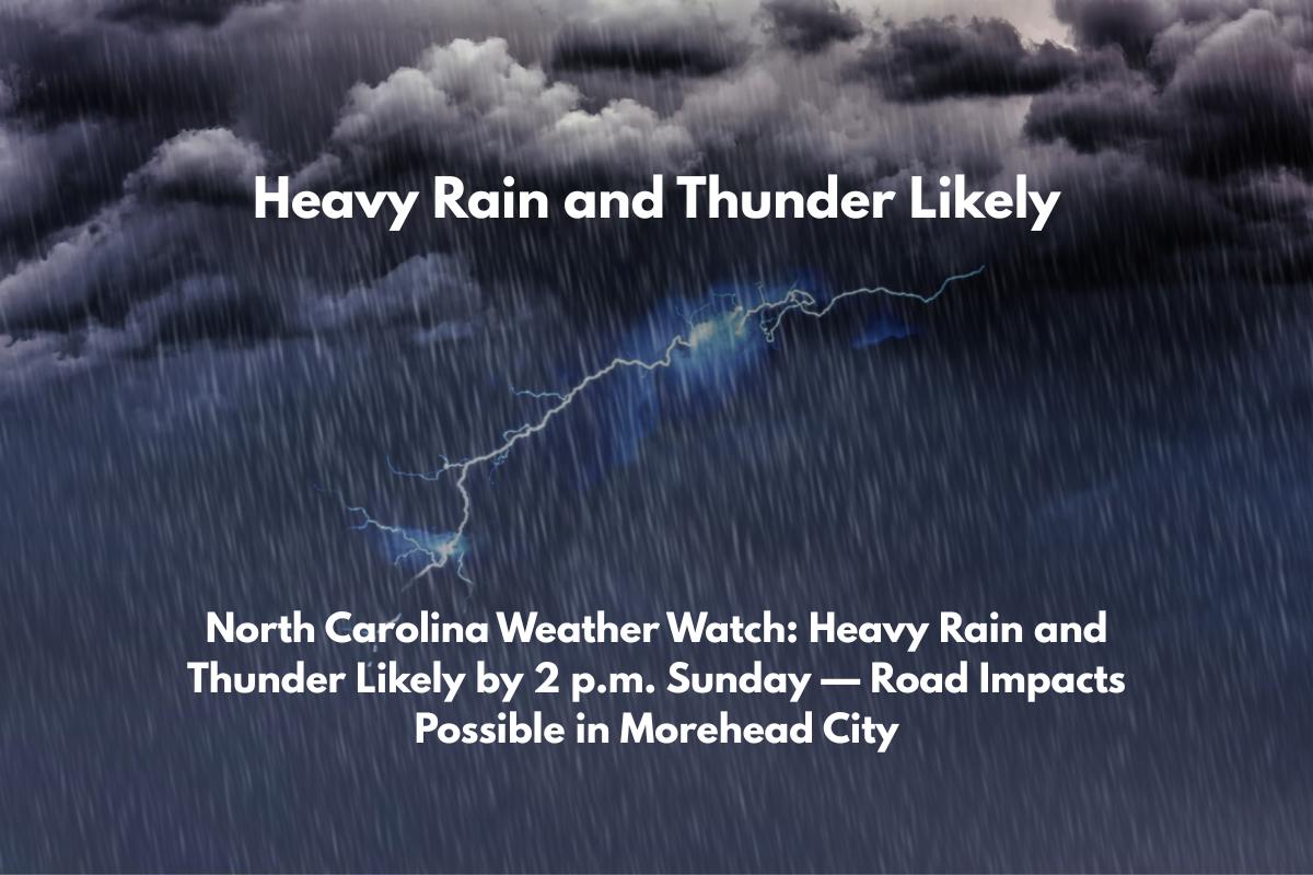
Morehead City, N.C. – Storms are expected to develop over coastal North Carolina, bringing heavy rain, thunder, and possible road disruptions to Morehead City and surrounding areas, particularly along highways like US-70, starting Sunday afternoon.
The National Weather Service in Morehead City has issued a weather alert for Sunday, noting a 40% chance of showers and thunderstorms after 11 a.m., with a higher likelihood of downpours and lightning after 2 p.m. The storms may move slowly, leading to localized flooding, particularly in low-lying areas.
As the afternoon progresses, residents and travelers should be aware of wet and slick roads, especially in areas near Beaufort Smith Field Airport (KMRH) and along US-70. Reduced visibility and flash flooding could make driving hazardous, so it’s best to avoid unnecessary travel during peak storm times.
What to Expect in the Coming Days:
Monday: Showers are likely, especially after 2 p.m., with a 60% chance of storms and possible thunder.
Tuesday and Wednesday: The stormy pattern intensifies, with a 70% chance of rain and thunderstorms, primarily in the afternoon. Expect humid conditions with highs near 89°F.
Thursday: A 50% chance of storms, with partly sunny skies and continued muggy conditions.
5-Day Forecast for Morehead City, N.C.:
Sunday (High 89°F): Thunderstorms likely after 2 p.m., breezy conditions with south winds at 6 mph.
Monday (High 89°F): Showers and thunderstorms, particularly after 2 p.m., with southeast winds at 5–7 mph.
Tuesday (High 87°F): Rain and thunderstorms likely, especially after 8 a.m.
Wednesday (High 87°F): Storms possible, with the best chances after 8 a.m.
Thursday (High 88°F): 50% chance of storms, with partly sunny skies and continued humidity.


