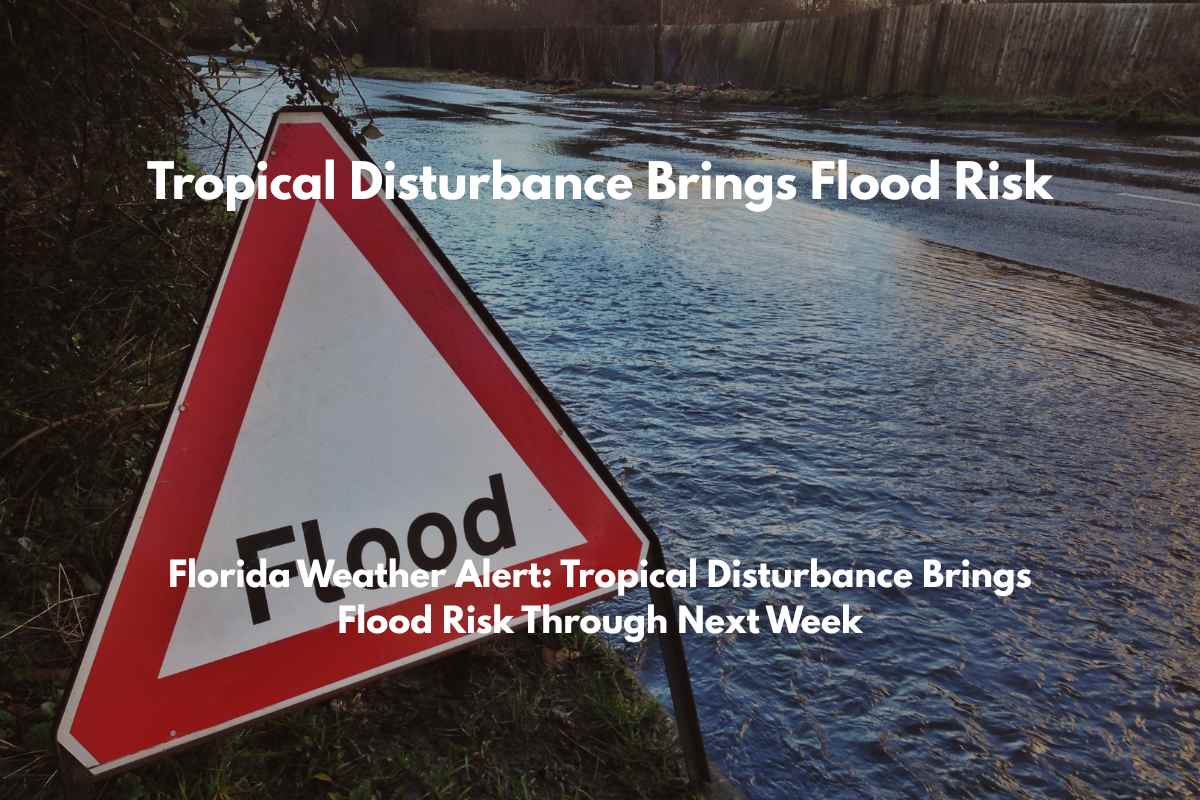
Orlando, FL – A developing low-pressure system off the Southeast U.S. coast is set to bring heavy rainfall and an increased risk of minor flooding to Florida through late next week. This weather disturbance is prompting concerns for residents from Orlando to Tampa and the Panhandle.
The National Weather Service in Melbourne reports that this system currently has a low (20%) chance of strengthening into a tropical depression as it moves westward over Florida and into the Gulf of Mexico.
Regardless of whether it becomes a tropical depression, forecasters warn of heavy rainfall and a higher risk of flooding, especially in low-lying and urban areas of central, northern, and western Florida.
Cities like Jacksonville, Tallahassee, Gainesville, and the I-4 corridor are expected to experience persistent showers, with standing water possibly accumulating on roadways.
Emergency management officials are advising residents to stay off flooded streets, check drainage systems around homes, and keep mobile devices fully charged in case of power outages.
This disturbance signals an early start to more active summer weather patterns, with heavy rain potentially disrupting weekend plans and commutes throughout the state. Flood advisories could be issued in the coming days. Florida residents are encouraged to stay updated on weather alerts and be prepared for any additional warnings as the system tracks westward.


