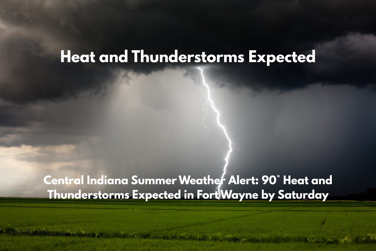
Fort Wayne, Indiana – Summer heat will intensify across northeast Indiana this weekend, with thunderstorms adding a bit of disruption to the warm weather.
The National Weather Service in Northern Indiana reports that Thursday will begin with calm weather, with highs around 86°F and light winds. However, by Friday afternoon, storm chances will rise. A 20% chance of showers and thunderstorms is expected after 2 p.m. in Fort Wayne, with temperatures reaching 88°F. Storms could cause travel disruptions on I-69 and local roads through the evening.
Saturday will bring the peak of the heat, with temperatures pushing 90°F and a 70% chance of showers and thunderstorms starting after 2 p.m. These storms could last into Saturday night, with heavy rainfall and lightning risks.
Drivers are advised to avoid flooded roads, stay updated with alerts, and prepare for sudden downpours. Outdoor plans should remain flexible, especially late in the day.
By Sunday, storm chances will decrease to 20% before 8 a.m., with a slight chance of storms returning in the afternoon. Highs will remain near 87°F, continuing to bring heat stress concerns. Light evening showers could pop up later on Sunday.
The unsettled weather pattern will continue into Monday and Tuesday, with highs in the upper 80s and daily chances for storms. Expect afternoon lightning and brief downpours, particularly Monday night and Tuesday.
5-Day Forecast for Fort Wayne:
Thursday (86°F): Calm weather, highs around 86°F.
Friday (88°F): 20% chance of storms after 2 p.m., travel disruptions possible.
Saturday (90°F): 70% chance of storms after 2 p.m., heavy rain and lightning possible.
Sunday (87°F): 20% chance of storms before 8 a.m., slight chance in the afternoon.
Monday (88°F): Upper 80s, daily storm chances continue.


