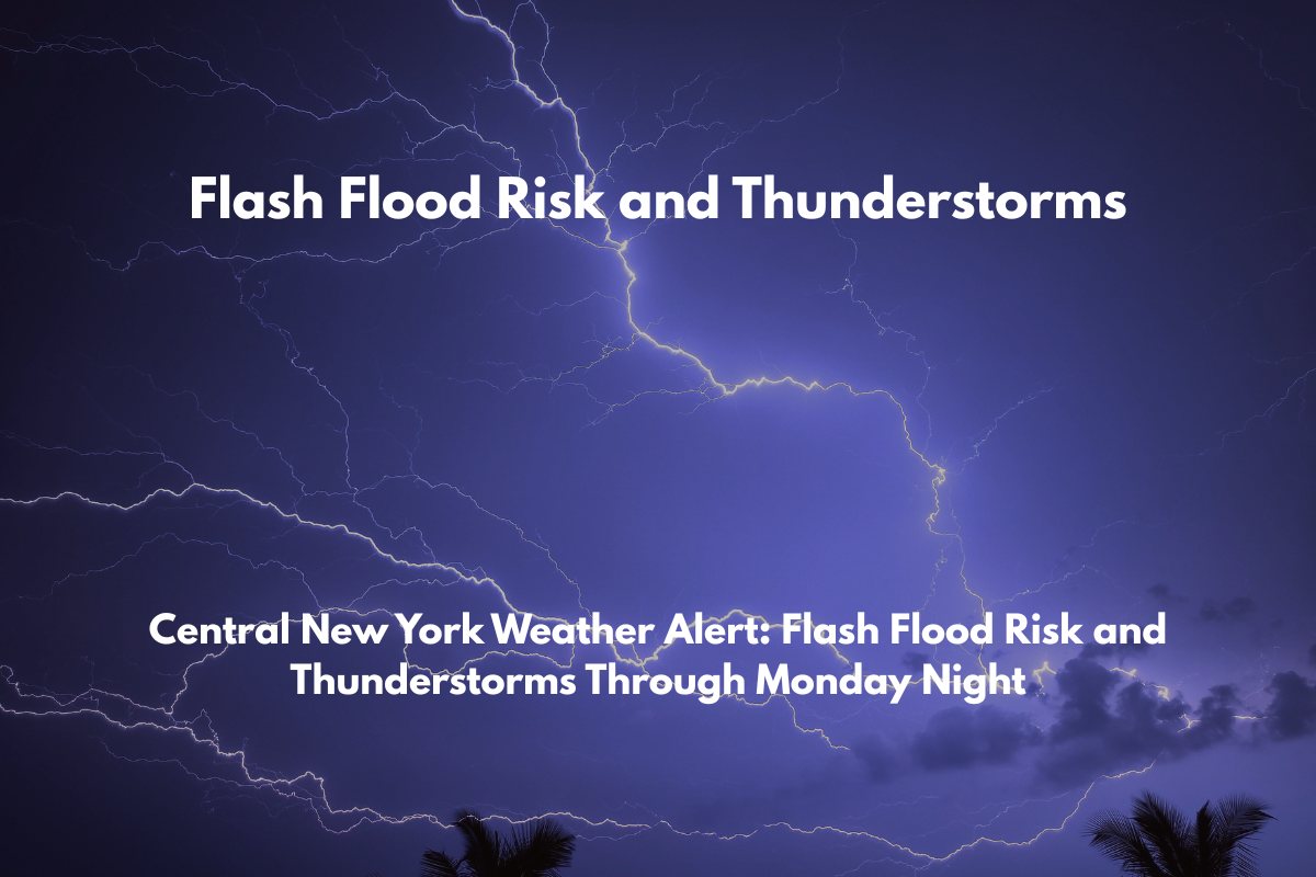
Binghamton, N.Y. – Gusty thunderstorms and heavy downpours are expected to impact Central New York from Sunday morning through late Monday, with officials warning of a heightened risk of flash flooding in several counties.
According to the National Weather Service in Binghamton, a Heat Advisory is in effect for Broome, Onondaga, and surrounding counties until 7 p.m. Saturday.
However, the main weather threat will arrive on Sunday, when slow-moving thunderstorms will bring rounds of torrential rain and locally damaging wind gusts to cities including Syracuse, Ithaca, Binghamton, and Utica. The risk for isolated to scattered flash flooding will increase, particularly in flood-prone areas such as low-lying zones, small streams, and roadways.
Travel and Safety Precautions
Drivers on Interstate 81, Route 17, and other local roads should expect sudden ponding and reduced visibility during heavy downpours. The National Weather Service also advises residents in Sullivan, Delaware, Otsego, and Cortland counties to stay alert for rapidly changing weather conditions.
Emergency management officials urge residents to avoid flooded roadways, keep mobile devices fully charged, and check on vulnerable neighbors, particularly those without air conditioning, as the heat may continue through Saturday.
What to Expect
Showers and thunderstorms are expected to continue into early Tuesday, with the potential for additional weather advisories if conditions worsen. Storm spotters are encouraged to report severe weather to the National Weather Service to assist in tracking dangerous conditions.


