Wilmington, Delaware – Drivers and residents in Delaware should prepare for a stormy and wet Tuesday as heavy rain and thunderstorms are expected to move into Wilmington. The storms could impact local roads and highways, including I-95, potentially causing slick conditions and hazardous travel through Wednesday.
Tuesday’s Thunderstorms and Rainfall
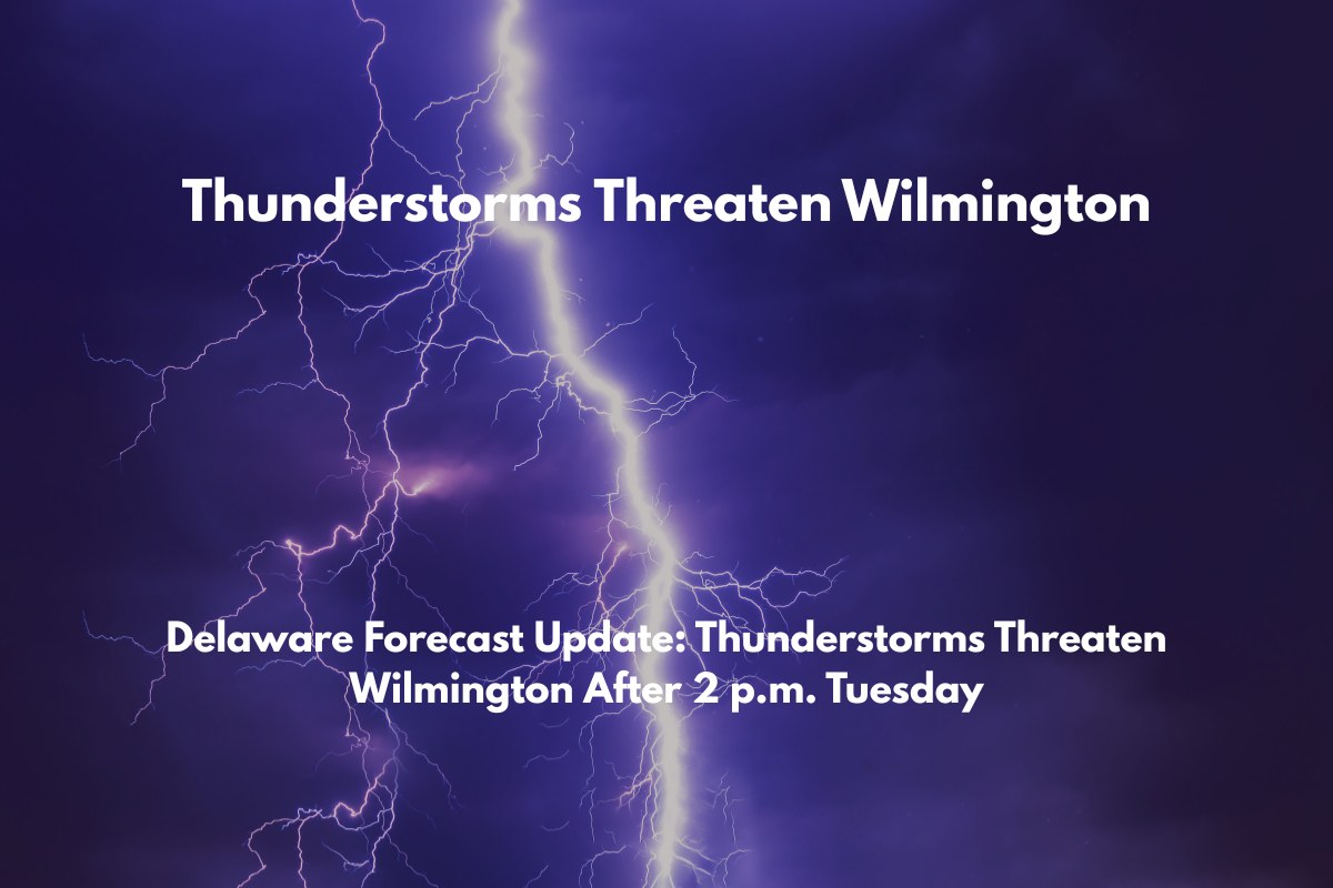
According to the National Weather Service, the risk of thunderstorms and heavy rain increases by Tuesday afternoon, starting around 2 p.m. The day will begin with patchy fog and humidity, but conditions will worsen later as heavy downpours become more likely.
The storms are expected to disrupt the afternoon commute, slow traffic, and may cause localized flooding, especially in low-lying areas and near major routes such as I-495 and U.S. Route 13.
Rain chances will continue through Tuesday night, with more storms possible before midnight, and lingering showers expected into Wednesday morning. Travelers are advised to exercise caution, especially during the heaviest rainfall. If driving, be sure to turn on headlights, reduce speed, and remain vigilant for ponding water on the roads.
Weather Outlook for the Week
Wednesday will bring more unsettled conditions, with a chance for additional showers and isolated thunderstorms. Highs will reach near 89°F, with a humid feel continuing through the day. By Thursday, however, conditions will improve, and Wilmington will see partly sunny skies and a high of 92°F, marking a return to typical summer weather.
While Friday still holds a chance for showers and thunderstorms in the afternoon, the weekend will bring mostly sunny skies, with a few isolated showers possible.
Five-Day Wilmington, DE Forecast (Tuesday, July 15 – Sunday, July 20)
Tuesday: Heavy rain and thunderstorms likely after 2 p.m., patchy fog early. High 87°F.
Tuesday Night: Showers and thunderstorms continue, possibly heavy. Low 74°F.
Wednesday: Chance of showers and thunderstorms. High 89°F.
Thursday: Partly sunny, chance of afternoon storms. High 92°F.
Friday: Chance of showers and thunderstorms after 2 p.m. High 92°F.
Saturday: Isolated showers, mostly sunny. High 89°F.
Sunday: A chance of storms. Partly sunny. High 89°F.
Residents should remain alert for potential updates if conditions change, especially as the storms intensify later in the day. Be prepared for wet and hazardous conditions, and take all necessary precautions to stay safe.


