Thunderstorms are forecasted to return across much of Kansas on Friday, with the strongest storms expected in the north-central and northwest regions of the state.
The National Weather Service in Dodge City reports that while the risk of widespread severe weather is low, isolated storms could bring hail up to the size of half-dollars and wind gusts as high as 60 mph.
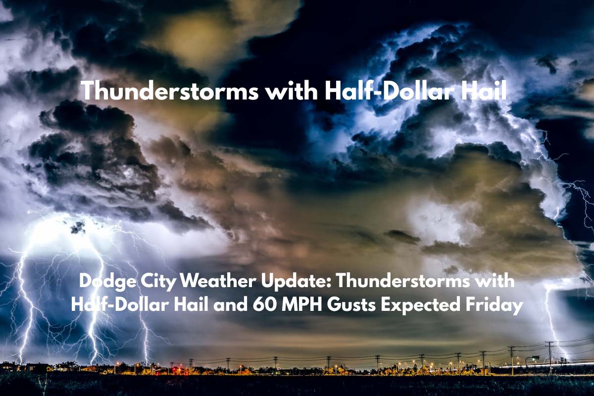
What to Expect on Friday
The storm chances for Friday afternoon and evening range from 30% to 70%, with the highest chances in cities like Concordia, Lincoln, and Ellsworth. In these areas, stronger thunderstorms may produce severe weather, including:
Hail up to the size of half-dollars
Wind gusts reaching 60 mph
Widespread rain amounts between 0.10 to 0.50 inches, with some areas potentially seeing higher totals during heavier downpours
Cities like Hays, Great Bend, and Ness City have a 50–60% chance of storms, while Dodge City and Garden City face a lower risk of 30–40%.
Driving Conditions and Safety Tips
Drivers should be prepared for rapidly changing road conditions, particularly during the evening commute when the storms are expected to be at their strongest. If you encounter flooded areas or severe weather, it’s important to stay indoors and avoid driving through flooded roads.
What to Do If a Storm Hits
Although the overall risk of severe weather is low, it’s still important to take precautions:
Stay indoors if thunderstorms develop
Avoid flooded areas
Stay informed by checking weather updates for any changes in storm timing and severity
Looking Ahead
Rain chances are expected to persist into early Saturday in some areas. More detailed updates will be provided by Thursday night as the timing and severity of the storms are refined.


