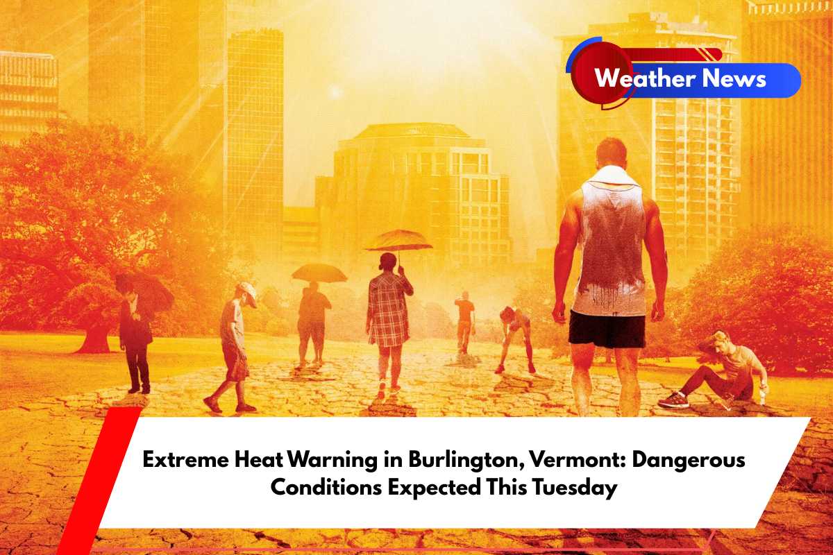
Vermont is bracing for intense summer heat this Tuesday, June 24, with dangerously high temperatures predicted. An Extreme Heat Warning has been issued for Burlington and surrounding areas, including Champlain Valley towns.
The National Weather Service is forecasting a scorching 105°F heat index by mid-afternoon, with actual temperatures reaching 96°F.
Heat Advisory Details
The Extreme Heat Warning will be in effect from 11 a.m. to 8 p.m. on Tuesday, June 24. This warning covers critical travel routes, including U.S. Route 7, and affects several cities, such as Middlebury, South Hero, Swanton, and Ticonderoga.
The warning highlights the risks associated with the combination of high temperatures and humidity, which can cause heat-related illnesses if proper precautions are not taken.
Health Risks and Safety Measures
With the heat index soaring to 105°F, the conditions will be extremely uncomfortable and dangerous. The National Weather Service urges residents to avoid strenuous outdoor activities, particularly during the late morning and afternoon hours when temperatures are at their peak.
Those without air conditioning should be extra cautious, as they are at higher risk. Hydration is key—drink plenty of water throughout the day, and check on neighbors, especially the elderly and those with medical conditions.
Weather Conditions in Burlington
Burlington will see a high of 96°F on Tuesday, with the oppressive humidity making it feel like 105°F. Light south winds of 3–8 mph will provide little relief, and while there is a slight chance of afternoon thunderstorms, rainfall will likely be minimal.
It is important to note that children and pets should never be left in parked vehicles, as the temperature inside a car can become life-threatening in just minutes. Outdoor workers are advised to take frequent breaks in shaded or cool areas, and anyone experiencing symptoms of heatstroke should call 911 immediately.
Five-Day Weather Outlook for Burlington
Monday, June 23: High of 97°F, hot and sunny with a heat index near 104°F.
Tuesday, June 24: High of 96°F, heat index up to 105°F, 30% chance of afternoon thunderstorms.
Wednesday, June 25: High of 81°F, mostly sunny with increasing clouds.
Thursday, June 26: High of 79°F, partly sunny with showers possible after 2 a.m.
Friday, June 27: High of 76°F, chance of showers and storms, especially late.


