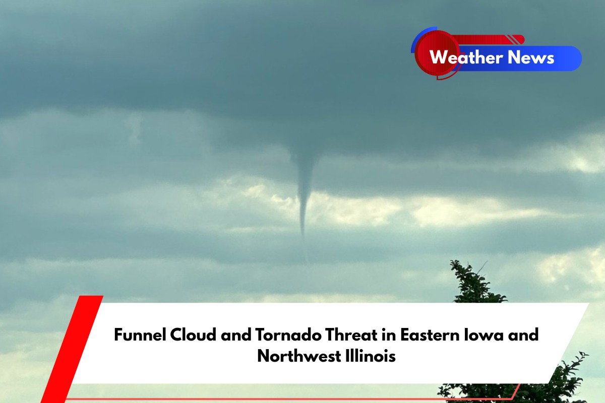
Davenport, IA – The National Weather Service (NWS) has issued an alert for residents in eastern Iowa and northwest Illinois, warning that conditions remain favorable for the development of funnel clouds and brief tornado touchdowns through 7 p.m. today. The advisory highlights a potential tornado risk in the region, urging people to stay alert.
Weather Conditions Favor Funnel Cloud Development
The NWS Quad Cities office reports that a weak weather boundary is settling across the area, creating an environment conducive to funnel cloud formation and possibly weak tornadoes. While most funnel clouds may not touch down, any persistent or strengthening clouds could evolve into brief tornadoes.
The Mississippi River Valley, spanning both eastern Iowa and northwest Illinois, is most likely to be affected by this weather pattern.
Meteorologists closely monitor the situation and will issue a Tornado Warning if necessary. They emphasize that residents should remain vigilant, especially as conditions could change quickly.
Tornado Safety and Preparedness
While no tornado touchdowns had been confirmed as of mid-afternoon, the NWS stresses that the situation is fluid, and the risk may increase through the evening.
In case a funnel cloud or tornado is spotted, local authorities recommend seeking shelter immediately. This is especially crucial in mobile homes or areas without sturdy buildings.
The National Weather Service also advises residents to review their safety plans and identify secure shelters in advance. With fluctuating temperatures and storm cells moving across the Midwest, it’s important for everyone in the affected areas to be prepared.


