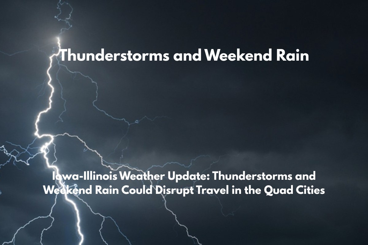
Moline, Illinois – A stretch of hot, stormy weather is expected to cause disruptions across the Quad Cities this week, with thunderstorms likely starting Thursday and intensifying by Friday night.
According to the National Weather Service in the Quad Cities, scattered thunderstorms are expected to develop Thursday afternoon, with stronger storms anticipated west of the Mississippi River.
By Friday, there’s a 50% chance of storms after 1 p.m., increasing to 60% by Friday night, with heavier rainfall and possible thunder. Flash flooding, especially near low-lying roads like I-74, is becoming a growing concern as the weekend approaches.
What to Expect This Week:
Thursday: A high of 86°F with partly sunny skies and scattered thunderstorms developing by the afternoon.
Friday: High of 89°F with thunderstorms likely after 1 p.m. A 60% chance of heavier rainfall and thunder in the evening.
Saturday: While drier, there’s still a 30% chance of afternoon rain, with highs around 84°F.
Sunday: Mostly sunny and mild with temperatures near 85°F.
Monday: Storm chances return, with highs reaching 88°F and a 30% chance of scattered showers.
Tuesday: Another round of storms possible with temperatures pushing 91°F.
What You Can Do to Prepare:
Avoid driving through flooded roadways.
Have backup charging options ready in case of power outages.
Stay updated by monitoring weather alerts throughout the weekend.
While no severe thunderstorm watch is in place yet, conditions could change rapidly, particularly west of the Mississippi and into eastern Iowa. Stay weather-aware, especially through Friday, as summer heat and thunderstorms continue.


