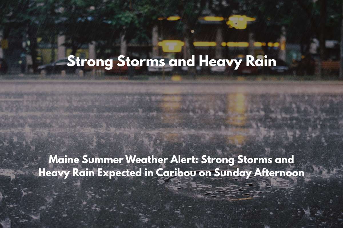
Caribou, Maine – A strong cold front is moving through northern Maine, bringing severe weather to areas like Caribou on Sunday. The storms are expected to bring gusty winds, lightning, and heavy rain, especially along Route 1, starting in the afternoon.
Thunderstorms Expected Sunday Afternoon
According to the National Weather Service in Caribou, thunderstorms are likely to develop after 3 p.m. on Sunday. A high chance of rain (80%) is expected across Aroostook County, with rainfall totals ranging from a quarter to half an inch.
Some isolated storms could bring gusty winds and dangerous lightning, which may impact driving conditions, especially on Route 1. Drivers should expect sudden downpours and slick roads.
Safety Tips for Sunday’s Storms
Residents are advised to avoid unnecessary driving during the peak storm hours, particularly in the afternoon when the storms are at their worst. It’s also important to secure outdoor items to prevent them from being blown away by strong winds. If you hear thunder, head indoors immediately to stay safe.
The stormy weather will continue into Sunday night and might last into Monday morning, as the cold front keeps influencing the area.
Five-Day Weather Forecast for Caribou, ME (July 6 – July 11)
Here’s a quick look at the weather forecast for the coming days:
Sunday (July 6): Showers and thunderstorms after 3 p.m., with highs around 86°F and gusty winds up to 14 mph.
Monday (July 7): More showers after 2 p.m., with highs near 71°F.
Tuesday (July 8): Slight chance of morning showers, with highs around 75°F.
Wednesday (July 9): Mostly sunny and warmer, with highs near 78°F.
Thursday (July 10): Afternoon showers and storms, with highs around 77°F.
As the storm moves through, residents should stay informed about the weather and prepare for possible disruptions in their plans, especially for those traveling on Route 1.


