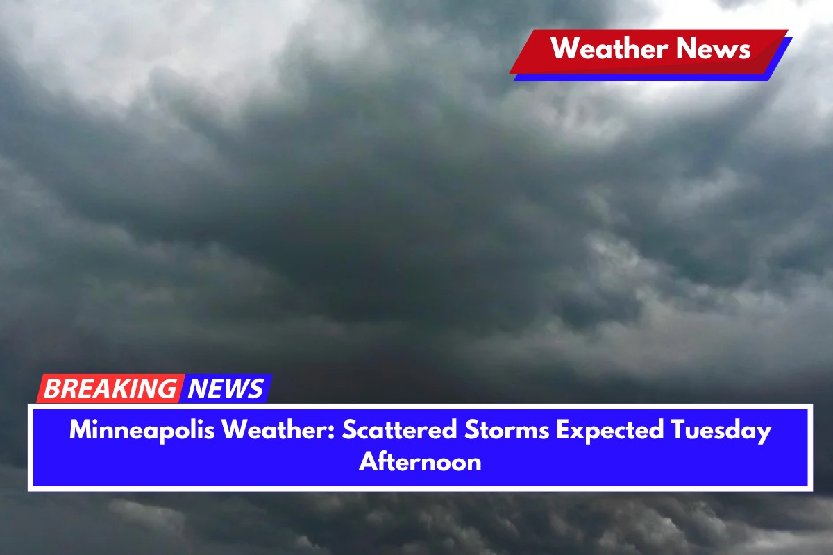
Storms are set to develop Tuesday afternoon across the Twin Cities, bringing rain and lightning that could affect midweek commutes and outdoor plans. The National Weather Service has forecast that temperatures will reach 83°F by mid-afternoon, with thunderstorms becoming more likely after 1 p.m.
Cloud cover will build throughout the day, and isolated showers are expected to turn into scattered thunderstorms by the afternoon and evening. Winds from the south-southwest at 5 to 10 mph may increase as storms intensify, though severe weather is not anticipated at this time.
Travelers on I-94 and I-35 through Minneapolis and St. Paul should plan for extra time, as sudden downpours may reduce visibility and make roads slick. While the morning will start off dry, rain chances will rise significantly by midday. Drivers should be cautious during peak travel times and avoid parking under trees due to the risk of lightning.
By Tuesday night, skies will clear, with temperatures dropping to a mild 62°F. This calm weather will be short-lived, as another round of rain and showers is expected late Wednesday into Thursday, with a 50% chance of rain on Wednesday night.
Extended Forecast: Monday, June 9 – Saturday, June 14
Monday Night: Isolated showers, low near 63°F
Tuesday: High of 83°F, scattered afternoon storms (50%)
Tuesday Night: Mostly clear, low around 62°F
Wednesday: Mostly sunny early, then a 30% chance of rain late, high near 76°F
Wednesday Night: Showers likely (50%), low around 59°F
Thursday: 40% chance of afternoon showers, high near 76°F
Thursday Night: Showers likely (70%), low near 57°F
Friday: Showers and storms possible (70%), high near 68°F
Saturday: Slight rain chances continue, highs near 72°F


