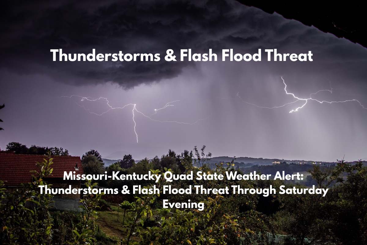
Paducah, KY – A line of showers and thunderstorms is moving through the Quad State area, raising concerns about damaging winds and heavy rainfall that could lead to flash flooding from Evansville to Paducah.
The National Weather Service in Paducah has issued a weather alert for southern Illinois, western Kentucky, southeast Missouri, and southwest Indiana, where the main threats include isolated wind damage, torrential downpours, and potential flash flooding.
The heaviest storms are expected to affect areas including Evansville, Carbondale, Cape Girardeau, and Paducah through 7 p.m. Saturday. These storms may stall over certain locations, increasing the risk of flash flooding, especially in low-lying areas and urban centers.
Travel Precautions & Flash Flood Risk
Drivers along key highways such as I-64, US 41, and I-24 should be cautious, as brief road flooding is possible, particularly in low-lying areas and near urban centers. Residents of Union City, Poplar Bluff, and Madisonville should also be prepared for localized heavy rain and gusty winds that could down trees, branches, and power lines.
What You Should Do
If you’re in the path of these storms, it’s advised to avoid travel during heavy rain, keep your mobile devices fully charged, and monitor local weather updates. Remember, never drive through flooded roads, as even shallow water can be dangerous.
Storms are expected to continue through the evening, and additional weather warnings could be issued. Stay tuned to local alerts from the National Weather Service to stay informed as this threat remains active throughout tonight.


