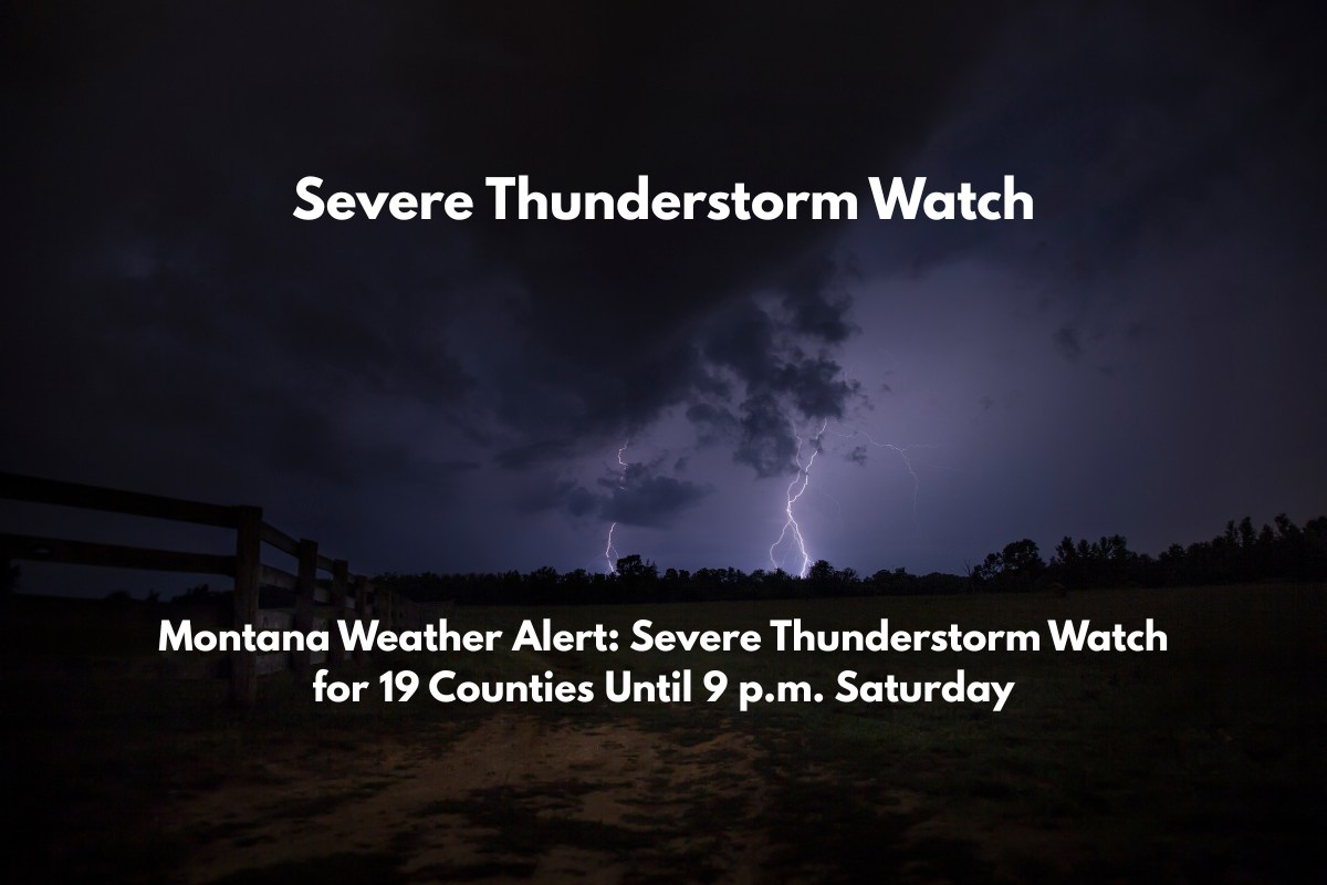
Billings, Montana – Strong storms are moving across eastern Montana, and a Severe Thunderstorm Watch is in effect until 9 p.m. Saturday for nearly 20 counties. The storms are expected to bring wind gusts up to 70 mph, large hail, and frequent lightning.
Severe Storm Risk Across Central and Eastern Montana
The National Weather Service Storm Prediction Center issued Severe Thunderstorm Watch No. 487, covering 19 counties in central and eastern Montana, including Big Horn, Yellowstone, Dawson, Rosebud, and Fergus.
The primary risks associated with the storms include damaging wind gusts, hail up to the size of quarters, and sudden shifts in visibility due to heavy rain and downpours.
Cities such as Miles City, Glendive, Billings, and Lewistown are at risk, with travel on I-94 and U.S. Route 87 expected to become hazardous later in the afternoon as the storms intensify. Areas where storm cells develop may face poor visibility, so motorists should use caution.
What You Need to Know and How to Stay Safe
Residents in affected counties are urged to take the necessary precautions. Secure outdoor items that could be blown away, avoid open fields where lightning strikes are more likely, and keep devices charged in case of power outages.
Sudden temperature drops and gusty outflow winds from the storm could cause discomfort or even trigger road closures, as seen in a similar storm event in July 2021 that caused widespread tree damage.
Stay Prepared for Updates
The Severe Thunderstorm Watch will remain in effect until 9 p.m. MDT, but updates or extensions may be issued as the storm develops throughout the day. Keep an eye on local alerts and continue to monitor NOAA Weather Radio for the latest information on storm activity.


