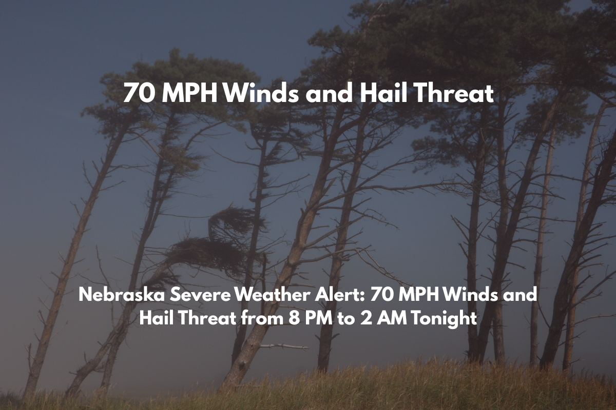
Hastings, Nebraska – A severe storm complex is set to impact central Nebraska tonight, with damaging winds up to 70 mph, golf ball-sized hail, and the possibility of isolated tornadoes. These dangerous storms are expected to move through the region from 8 p.m. Tuesday to 2 a.m. Wednesday.
What to Expect:
The National Weather Service in Hastings has issued an Enhanced Risk (Level 3 of 5) for much of the I-80 corridor, including Kearney, Grand Island, and Norfolk.
The storms will develop during the evening and continue moving southeast overnight, driven by daytime highs in the 90s and heat indices surpassing 100°F in some areas, including south of Cambridge and Beloit, Kansas.
Primary Threats:
Damaging winds (up to 70 mph)
Golf ball-sized hail
Flash flooding due to heavy rainfall and potential training storms
Isolated tornadoes from developing supercells ahead of the main storm line
Additional Hazards:
Power outages and road hazards from fallen trees and utility lines
Safety Recommendations:
Secure outdoor items that could be blown away by high winds.
Charge your devices in case of power outages.
Avoid driving on roads where flash flooding could occur or where trees and power lines may fall.
Enable Wireless Emergency Alerts and monitor local media for updates and emergency instructions.
Timing:
The severe weather threat is expected to end by early Wednesday morning. However, additional alerts may be issued if storm conditions change or intensify overnight.


