Morehead City, North Carolina – The coastal towns of North Carolina are facing a combination of dangerous surf and soaking storms Sunday through Monday, with significant risks for beachgoers and travelers. Residents and visitors should be aware of the hazardous conditions in the area.
Rip Current and Storm Risks on Sunday
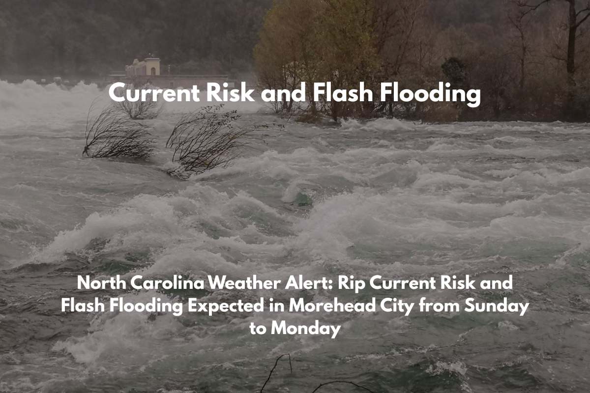
The National Weather Service in Newport/Morehead City has issued a Moderate Rip Current Risk that will remain in effect until Saturday evening, south of Cape Hatteras.
As of Sunday afternoon, heavy showers and thunderstorms are expected to impact parts of eastern North Carolina, including Morehead City, Beaufort, and Hatteras Island. The storms may bring up to 2 inches of rain, and gusty winds could reach speeds of up to 23 mph. The high temperature will be around 84°F, but the weather may disrupt beach activities and outdoor plans.
The storms are likely to intensify by the late afternoon, potentially causing localized flooding in low-lying areas and along roads like U.S. Route 70. Motorists should be prepared for water-covered roads and reduced visibility during these heavy downpours.
Monday’s Weather: More Storms and Flooding Potential
Monday brings more stormy weather to the region, with scattered thunderstorms continuing through the day and into the evening.
The high temperature will be around 87°F, and rainfall is expected to total between half an inch and 1.5 inches across eastern North Carolina. As with Sunday, the heavy rains could lead to localized flooding, especially in low-lying areas and on poorly-drained roads.
Beachgoers and boaters are still urged to heed the rip current warnings, as the surf will remain dangerous. Travelers are also advised to avoid water-covered roads to ensure their safety.
Five-Day Weather Forecast for Morehead City, NC (July 6–11)
Here’s a quick look at the forecast for the coming days:
Sunday (July 6): Showers and thunderstorms likely after 2 p.m., with a high around 84°F. Gusty winds and up to 2 inches of rainfall expected.
Monday (July 7): More showers and thunderstorms likely, with highs near 87°F. Rainfall totals up to 1.5 inches.
Tuesday (July 8): A 50% chance of storms, with partly sunny weather early. High around 88°F.
Wednesday (July 9): Storms likely in the afternoon, with a 60% chance of rain. High near 89°F.
Thursday (July 10): Storms possible throughout the day, with highs near 89°F. Overnight low near 75°F.


