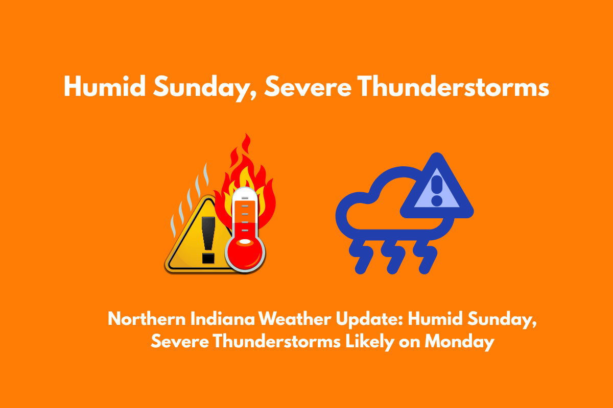
Northern Indiana will experience a hot and humid Sunday, followed by the likelihood of severe thunderstorms on Monday afternoon and evening. These storms could bring heavy rain, gusty winds, and lightning, especially along key highways like U.S. 30 and the I-69 corridor.
Areas Affected by Heat and Storms
The National Weather Service in Northern Indiana reports that Sunday will be hot and humid, with temperatures climbing into the upper 80s to low 90s. There is a low chance (15–20%) of pop-up storms, but most of the day will remain dry. However, the real concern starts on Monday, when the weather becomes more volatile.
Monday Storm Risk: A 70–90% chance of thunderstorms will develop late in the afternoon and continue into the evening. These storms may bring heavy rain, gusty winds, and frequent lightning, particularly in areas like South Bend, Warsaw, and Fort Wayne.
Commute Disruptions: The timing of these storms could disrupt the Monday evening commute, with reduced visibility and possible delays. Travelers on major roads like U.S. 30 and I-69 should be prepared for challenging conditions.
What to Expect and Safety Measures
Heat: On Sunday, temperatures will reach the upper 80s and low 90s, with high humidity making it feel hotter. The heat and humidity will continue to build through the day.
Thunderstorms: By Monday afternoon, thunderstorms will become more likely. These storms may cause:
Heavy rain, potentially leading to localized flooding
Gusty winds up to 50 mph
Lightning that could cause power outages
Travel: As storms move through, expect reduced visibility and difficult driving conditions. If possible, avoid travel during peak storm hours, and be cautious of water pooling on roads.
What You Can Do
Secure outdoor items: With strong winds expected, bring in or tie down any loose outdoor furniture or decorations.
Monitor weather updates: Keep your phone charged and stay tuned to local weather reports in case additional warnings or watches are issued.
Limit travel: If you don’t need to be out, stay indoors during the worst of the storms. Avoid driving in heavy rain or during lightning.
Forecast for the Rest of the Week
After the storms on Monday, the weather will calm down. By Tuesday, conditions will stabilize with drier air moving in. Highs will drop to the low 80s, and humidity will decrease, offering a welcome break from the tropical heat. This trend will continue through midweek, with quiet skies and more comfortable temperatures.


