Severe thunderstorms are moving across central and eastern Pennsylvania on Tuesday, bringing a risk of strong winds, hail, and heavy rain.
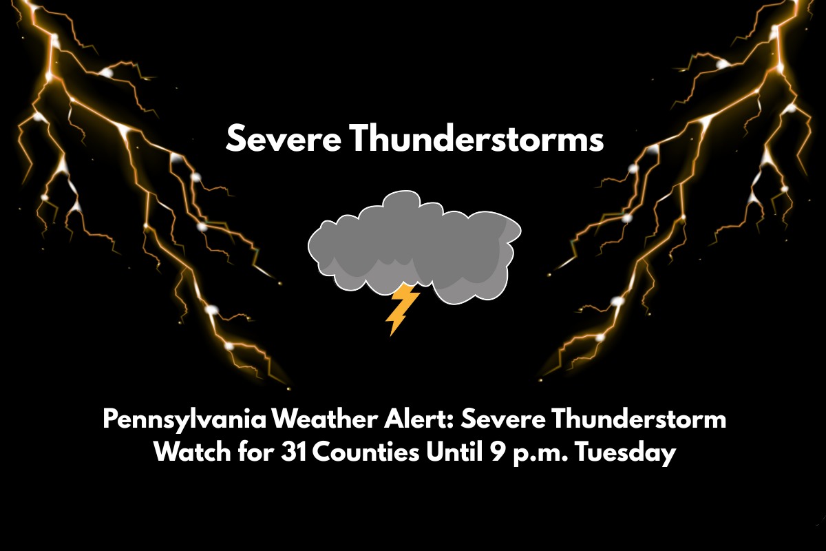
A Severe Thunderstorm Watch has been issued for 31 counties, including major cities like Philadelphia, Lancaster, and Harrisburg. Residents are urged to stay alert and be prepared for rapidly changing weather conditions.
Severe Thunderstorm Watch Details
The National Weather Service’s Storm Prediction Center has issued Severe Thunderstorm Watch No. 481, which will remain in effect until 9 p.m. EDT. This watch includes 31 counties, such as Philadelphia, Lancaster, Allentown, Harrisburg, and York.
The storms could bring damaging wind gusts of up to 60 mph, hail, and heavy rainfall, which may lead to localized flooding. These storms are expected to move quickly across the region, especially impacting the afternoon commute.
Impact on Major Roadways
The severe weather will likely affect major highways like Interstates 76, 78, 81, and 83, with sudden shifts in conditions that could make driving dangerous.
Reduced visibility, ponding of water on roads, and high winds could make travel hazardous, especially during the peak storm period. Emergency managers are advising residents to avoid unnecessary travel, secure outdoor items, and be ready for rapidly changing weather.
Potential Hazards and Safety Tips
In urban areas such as Philadelphia and Allentown, rapid rainfall could lead to street flooding, especially in areas with poor drainage. While flooding is not expected to be widespread, motorists should be cautious of water pooling on roadways during heavy rain.
Power outages and tree damage are possible, particularly in rural regions where soils may already be saturated. Residents should keep mobile devices charged and stay updated on local alerts.


