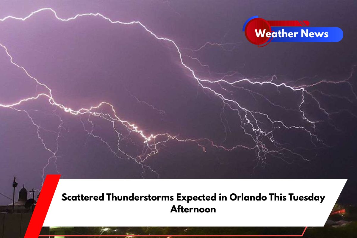
Central Florida, including Orlando, is gearing up for another round of scattered thunderstorms on Tuesday afternoon. The storms are expected to develop between 2 and 5 p.m., bringing brief downpours, lightning, and potential disruptions to the area, especially along major roads like I-4.
With temperatures peaking near 94°F, drivers and residents in Orange and Seminole counties should prepare for isolated weather-related delays during the afternoon commute.
Afternoon Thunderstorms and Storm Risks
According to the National Weather Service in Melbourne, Tuesday’s storms will be fueled by hot and humid conditions. As east-northeast winds shift to 5-15 mph, they may offer slight relief but will also help move the storms inland.
While no widespread severe weather is expected, lightning and localized flooding remain a risk, particularly during the peak storm hours between 2 and 5 p.m.
By late Tuesday night, the skies will clear up, with temperatures cooling to around 75°F. However, the chance for additional storms will return quickly on Wednesday, and the unsettled weather pattern will continue throughout the week.
Daily Forecast for Orlando (June 23–28)
Monday (June 23): High of 93°F, 30% chance of storms between 1 and 4 p.m.
Tuesday (June 24): High of 94°F, 20% chance of storms after 2 p.m., breezy conditions.
Wednesday (June 25): High of 93°F, 40% chance of storms after 11 a.m.
Thursday (June 26): High of 93°F, 60% chance of storms after 2 p.m.
Friday (June 27): High of 92°F, 60% chance of storms mainly after 2 p.m.


