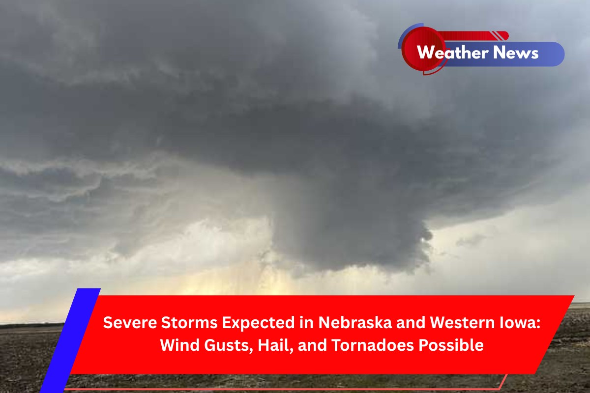
Omaha, Nebraska – Strong storms are set to impact parts of Nebraska and western Iowa tonight, bringing powerful winds, large hail, and the potential for isolated tornadoes.
The National Weather Service (NWS) warns that the storms could reach peak intensity through midnight, with wind gusts of up to 80 mph and hail as large as 3 inches in diameter.
The NWS Storm Prediction Center has issued a Severe Thunderstorm Watch that remains in effect until 12 a.m. CDT Tuesday for cities including Omaha, Grand Island, North Platte, and Sioux City.
The storms are expected to evolve from producing large hail into fast-moving lines of storms capable of causing damaging winds. The watch area covers parts of Nebraska, northwest Kansas, western Iowa, and a section of northeast Colorado, with major highways like I-80 and I-29 likely to experience impacts.
Cities including Norfolk, McCook, Carroll, and Denison are within the warning zone, and residents should be prepared for the possibility of scattered large hail, brief tornadoes, and powerful wind gusts that could lead to power outages and fallen trees.
Given the severity of the storms, residents are urged to secure outdoor items that could be blown away, avoid travel during the storm’s duration, and ensure they have multiple ways to receive emergency alerts. Over 1,300 schools and hospitals are within the watch area, emphasizing the wide-ranging potential for disruption.
Storm conditions could worsen, and warnings may be upgraded as the situation develops. Additional alerts might be issued through early Tuesday morning.


