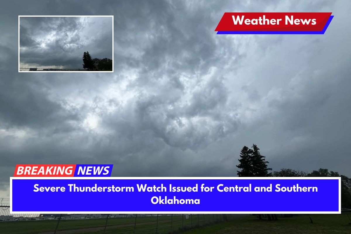
A severe thunderstorm watch is in effect for much of central and southern Oklahoma until 11 p.m. Saturday, with damaging winds and large hail being the primary threats.
Areas from Woodward to Norman, including Oklahoma City and surrounding counties, should prepare for intense weather as storms develop across the region.
Thunderstorm Risks and Expected Impacts
The National Weather Service Storm Prediction Center has issued the watch for 25 counties, including Oklahoma, Cleveland, Grady, and Canadian counties. Strong storms are expected to form throughout the evening, with wind gusts potentially reaching up to 60 mph and hail as large as quarter-sized.
The areas most at risk include the I-35 and Highway 81 corridors, including Oklahoma City, Edmond, and Lawton.
The storms are anticipated to intensify quickly, and residents should be aware of the risks. Power outages, downed trees, and damage to structures are possible in areas experiencing the strongest storms.
Local emergency officials advise people to secure outdoor items that could be blown around and to avoid unnecessary travel during the storm’s peak hours. It is also recommended to stay close to shelter as the storms approach.
Storm System Movement and Safety Measures
Though no tornado warnings are currently in effect, conditions remain favorable for severe weather, including rotation in the strongest storms.
Local emergency alerts will be issued if conditions worsen or tornado warnings are necessary. The storm system is expected to move eastward overnight, with scattered storms possibly continuing into early Sunday morning.


