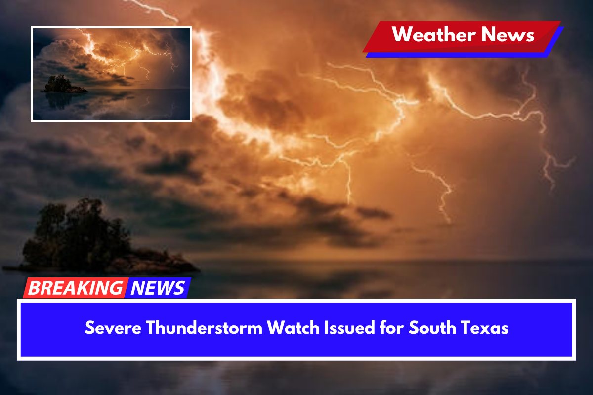
Severe thunderstorms are expected to impact parts of South Texas overnight, with a watch in effect until 2 a.m. Wednesday. The storms, capable of producing 2-inch hail and 80 mph wind gusts, are tracking across the region, posing a significant threat to both people and property.
Watch Area and Expected Threats
According to the National Weather Service in Austin-San Antonio, the severe thunderstorm watch includes areas such as Del Rio, Uvalde, Eagle Pass, and Carrizo Springs.
Residents in these areas can expect frequent lightning, scattered damaging wind gusts, and the possibility of isolated large hail. These storms could potentially damage structures and vehicles.
The severe weather also brings the risk of power outages and downed trees, particularly in rural areas where emergency response may be slower. Residents in Maverick, Val Verde, Kinney, and Dimmit counties are urged to take precautions, such as securing outdoor items, staying indoors, and avoiding travel during active lightning or wind events.
Impact on Local Communities and Services
The storm threat could affect up to 154,000 people, including 80 schools and five hospitals within the watch zone. Local emergency management teams are on high alert for flash flooding and damage reports overnight. As the storms are expected to be intense, monitoring local weather alerts and remaining prepared is essential.
Ongoing Watch and Future Updates
The severe thunderstorm watch remains in effect through 2 a.m. CDT Wednesday, and additional watches may be issued if the storms intensify or expand further eastward. Residents should stay informed through local news and weather services for any updates on storm development.


