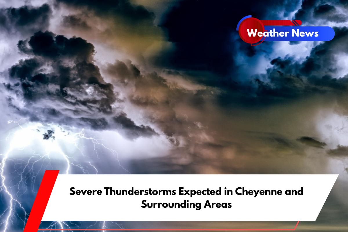
Cheyenne, Wyoming – Residents along the Wyoming-Nebraska-South Dakota border should brace for strong thunderstorms Tuesday afternoon, with the most dangerous conditions expected between 2 and 8 p.m.
The National Weather Service in Cheyenne has issued a warning for scattered storms that could develop east of a Casper-to-Cheyenne line and may become severe in localized areas.
Strong Storms Could Bring Hail and Gusty Winds
The storms are expected to bring several severe weather hazards, including large hail, wind gusts over 60 mph, heavy rainfall, and frequent lightning. Cities such as Cheyenne, Torrington, Chadron, and Alliance are in the slight risk zone for severe weather. Drivers on U.S.
Highway 85 and Interstate 25 should be especially cautious, particularly during the afternoon commute when storms are expected to intensify.
Potential for Power Outages and Flooding
With the strong storms, power outages and brief flooding in low-lying areas are possible. The heavy rain, combined with the gusty winds and hail, could disrupt travel and cause localized damage.
Residents are advised to monitor weather conditions closely and have an emergency plan in place in case of power loss or flooding.
Safety Tips for Stormy Weather
The National Weather Service is urging people to stay alert for weather warnings and make sure they have multiple ways to receive emergency updates.
It’s important to know your safe place before storms approach, and to seek shelter indoors immediately when severe weather is near. Avoid outdoor activities, especially if lightning is present.
When Will the Storms End?
The storm activity is expected to taper off after sunset, but additional alerts may be issued if conditions persist. Travelers and residents should continue to monitor the weather throughout the evening to stay informed and safe.


