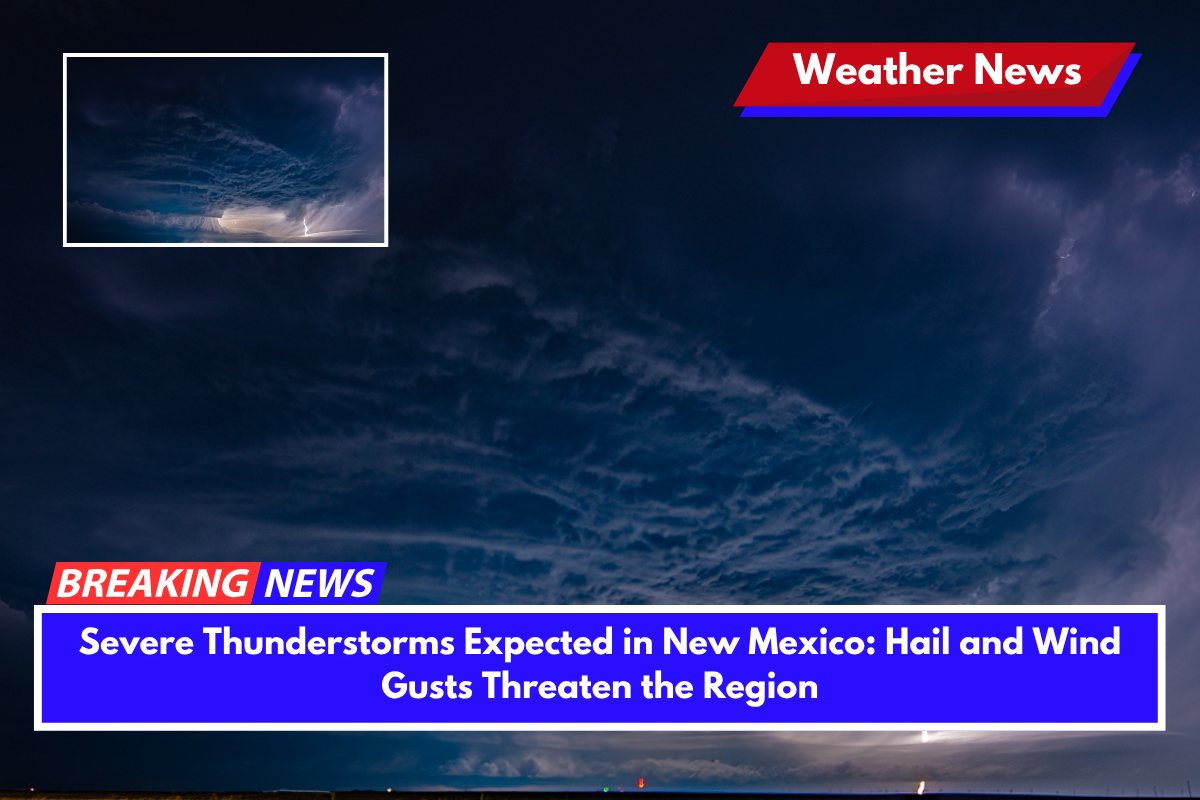
Severe thunderstorms are set to impact parts of central and eastern New Mexico on Monday, with the possibility of large hail and wind gusts up to 75 mph, creating dangerous conditions across the region. The storms are expected to intensify throughout the evening, with significant risks for widespread damage.
Storms and Hazards: What to Expect
According to the National Weather Service’s Storm Prediction Center, a Severe Thunderstorm Watch is currently in effect from Raton to Roswell. This includes cities like Santa Rosa, Tucumcari, Clovis, and Portales, as well as areas along the I-40 and U.S. Route 285 corridors.
Supercell storms are anticipated to develop and could bring hail up to 2 inches in diameter and isolated wind gusts that may reach up to 75 mph. The storms are expected to organize into fast-moving clusters, increasing the risk for widespread wind damage.
The primary threats from these storms are large hail and damaging winds. With conditions similar to those of a major storm outbreak that affected eastern New Mexico in June 2023, residents are urged to stay cautious.
Safety Tips: How to Prepare
Emergency officials are urging residents to take necessary precautions to stay safe during these severe storms:
- Secure Outdoor Items: Strong winds may cause debris to fly, so secure any loose items in your yard or on your property.
- Stay Indoors: If a warning is issued, remain indoors and avoid travel. Stay away from windows and doors.
- Prepare for Power Outages: Have flashlights, batteries, and essential supplies ready in case of sudden power loss.
- Delay Travel: If possible, delay non-essential travel, especially in high-profile vehicles that are vulnerable to strong crosswinds.
What to Expect Through the Night
The Severe Thunderstorm Watch will remain in effect until 10 p.m. Monday, though additional warnings may be issued as storms develop.
This marks one of the strongest thunderstorm events in eastern New Mexico this month, and residents should stay alert to local updates and tune into NOAA Weather Radio for the latest warnings and information.


