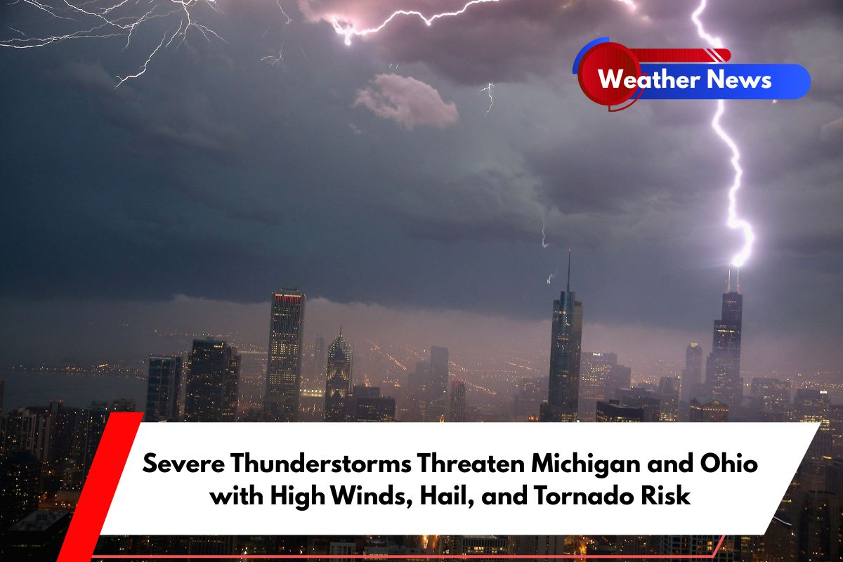
A series of powerful thunderstorms are set to impact parts of Michigan and Ohio this evening, bringing damaging winds, hail, and even the potential for isolated tornadoes before 10 p.m. Wednesday.
Wind gusts could reach up to 70 mph, while hail as large as ping pong balls is expected in some areas, according to the National Weather Service.
Severe Thunderstorm Watch Issued for Key Areas
The National Weather Service Storm Prediction Center has issued a Severe Thunderstorm Watch for southern Lower Michigan and northwest Ohio, including major metro areas like Detroit, Toledo, and Ann Arbor.
The storm system, known as a bow echo, is rapidly moving northeast from Indiana, bringing with it the risk of significant weather hazards. As of 4:10 p.m. EDT, the system was racing toward these areas.
Cities at Highest Risk
Cities including Lansing, Monroe, Flint, Adrian, and Findlay are at the greatest risk for severe weather. Strong wind gusts are likely to cause scattered tree and power line damage, while the possibility of isolated hailstorms could damage vehicles and rooftops.
Motorists traveling on highways like I-75, I-69, and I-80 should be aware of sudden loss of visibility and strong crosswinds, making driving dangerous.
Precautionary Measures and Safety Tips
Residents are strongly advised to take the necessary precautions. Secure loose outdoor items, charge phones and devices in case of power outages, and avoid unnecessary travel throughout the evening.
Schools, hospitals, and other public institutions across more than a dozen counties could experience disruptions due to the storm.


