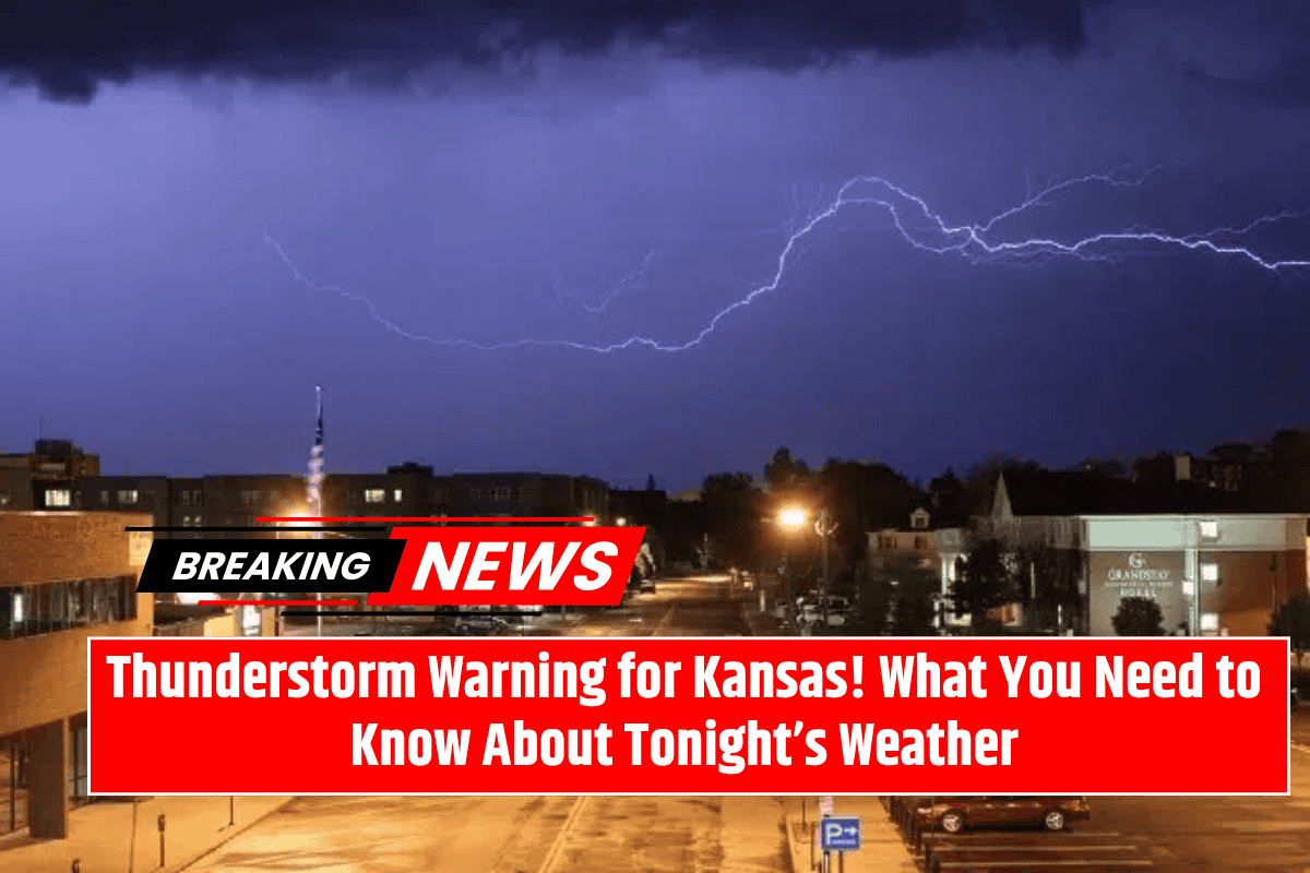
Residents of western Kansas should be prepared for a possible round of severe weather on Thursday evening. Isolated thunderstorms, capable of producing hail the size of quarters and gusty winds of over 50 mph, are expected to develop between 5 p.m. and 9 p.m. CDT.
While the risk for severe storms is relatively low, the National Weather Service in Dodge City is urging people in the affected areas to stay alert and take necessary precautions.
Expected Thunderstorm Activity
According to the National Weather Service, the threat of strong thunderstorms is localized, with the highest likelihood of storms occurring in areas near the Colorado border.
The risk zone stretches from Springfield and Ulysses to Tribune and Goodland, with Dodge City and Garden City on the eastern edge. Although the chance of severe storms is less than 15%, any storms that do form could rapidly intensify, potentially bringing damaging winds and hail.
These storms are expected to remain isolated, meaning that only certain areas will experience the severe weather. However, given the nature of summer storms along the dryline west of Ulysses and Scott City, it’s important to stay vigilant, as these low-probability events can still have significant localized impacts.
Hazards to Watch For
The main hazards associated with these thunderstorms are damaging winds and hail. Wind gusts over 50 mph could lead to downed tree branches, power outages, and flying debris, which could pose a threat to people and property.
Additionally, hail the size of quarters could damage crops, vehicles, and roofs. Residents are advised to secure loose outdoor items, such as patio furniture or trash bins, to prevent them from being blown around by the gusty winds.
Safety Precautions
Emergency officials are advising southwestern Kansas residents to monitor local weather alerts throughout the evening, as conditions could change quickly. It is also recommended to avoid unnecessary travel during the storm window between 5 p.m. and 9 p.m. If a severe storm warning is issued, take shelter immediately and stay inside until the danger passes.
While the threat of severe weather in western Kansas on Thursday evening is relatively low, isolated storms with the potential for damaging winds and hail are still a possibility. Residents should stay informed about the weather, secure outdoor items, and be ready to take action if storms develop.
Updates from the National Weather Service will continue as conditions evolve, and further warnings may be issued if necessary.


