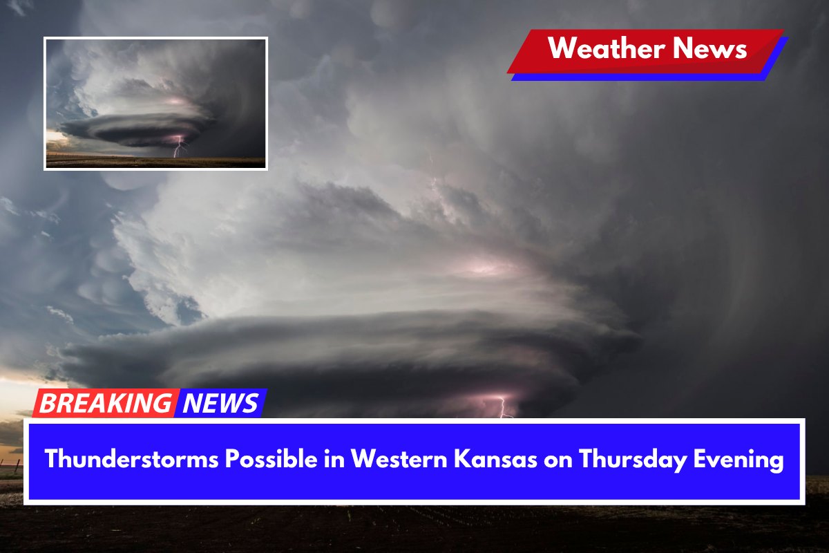
On Thursday evening, isolated thunderstorms could develop across western Kansas, particularly near the Colorado border, potentially bringing quarter-size hail and wind gusts of 50+ mph. While the chances of severe storms are low, residents are urged to stay alert.
Thunderstorm Forecast and Threat Area
The National Weather Service in Dodge City has issued a forecast indicating a less than 15% chance of strong or marginally severe storms between 5 p.m. and 9 p.m. CDT.
The storm threat area stretches from Springfield and Ulysses to Tribune and Goodland, with Dodge City and Garden City located on the eastern edge of this region. Although the probability of storms forming is low, any storm that does develop could quickly intensify.
Potential Hazards and Safety Tips
The main hazards with these storms include damaging winds and hail, which could be large enough to cause damage to outdoor property.
Emergency officials are advising residents in southwestern Kansas to secure any loose outdoor items, stay tuned to local weather alerts, and avoid unnecessary travel during the evening hours. Even though the storms are expected to be isolated, their impact can be localized, so it’s important to remain cautious.
Storm Timing and Updates
The storm threat is expected to diminish overnight, but conditions can change quickly, and further updates may be provided if necessary. This type of storm pattern is common during early summer, especially in areas along the dryline west of Ulysses and Scott City.


