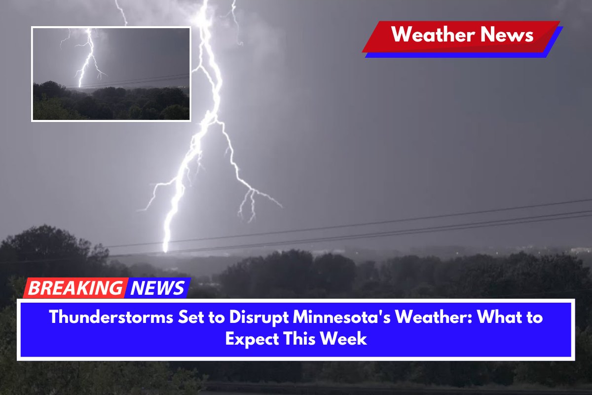
Minnesota is bracing for a return of thunderstorms, which are expected to hit the state Wednesday night and continue into Thursday morning, potentially disrupting evening commutes and overnight travel.
Thunderstorms and Rain Expected Wednesday Night
The National Weather Service in the Twin Cities has issued a warning for significant rain and thunderstorms, which are forecast to start late Wednesday, particularly in southern Minnesota.
Areas such as Mankato, Rochester, and the Twin Cities should expect storms to roll through the region during the overnight hours, lasting into Thursday morning. As the storms pass, winds may pick up, making driving during the night risky, especially for those traveling on the roads.
Weather Changes Leading Up to the Storms
Before the storms hit, Minnesota will experience a brief period of clear weather. After a weekend of rain, Monday night will bring a lull in the showers, allowing for warmer and clearer skies. Temperatures on Tuesday will rise, ranging from 75 to 90 degrees, with western Minnesota experiencing the warmest conditions. Low temperatures on Tuesday night will be cooler, ranging from the upper 40s to mid-60s.
What to Expect for the Rest of the Week
The storm activity will pick up again by Thursday night, with temperatures dipping to the upper 40s overnight. Showers and thunderstorms may continue into Friday, and there could be additional weather warnings or alerts throughout the week.
Stay Safe and Stay Informed
With the possibility of disruptive weather, it’s crucial for residents to stay informed by monitoring local weather alerts. Those with outdoor plans or travel scheduled should consider delaying non-essential trips during the storm hours.


