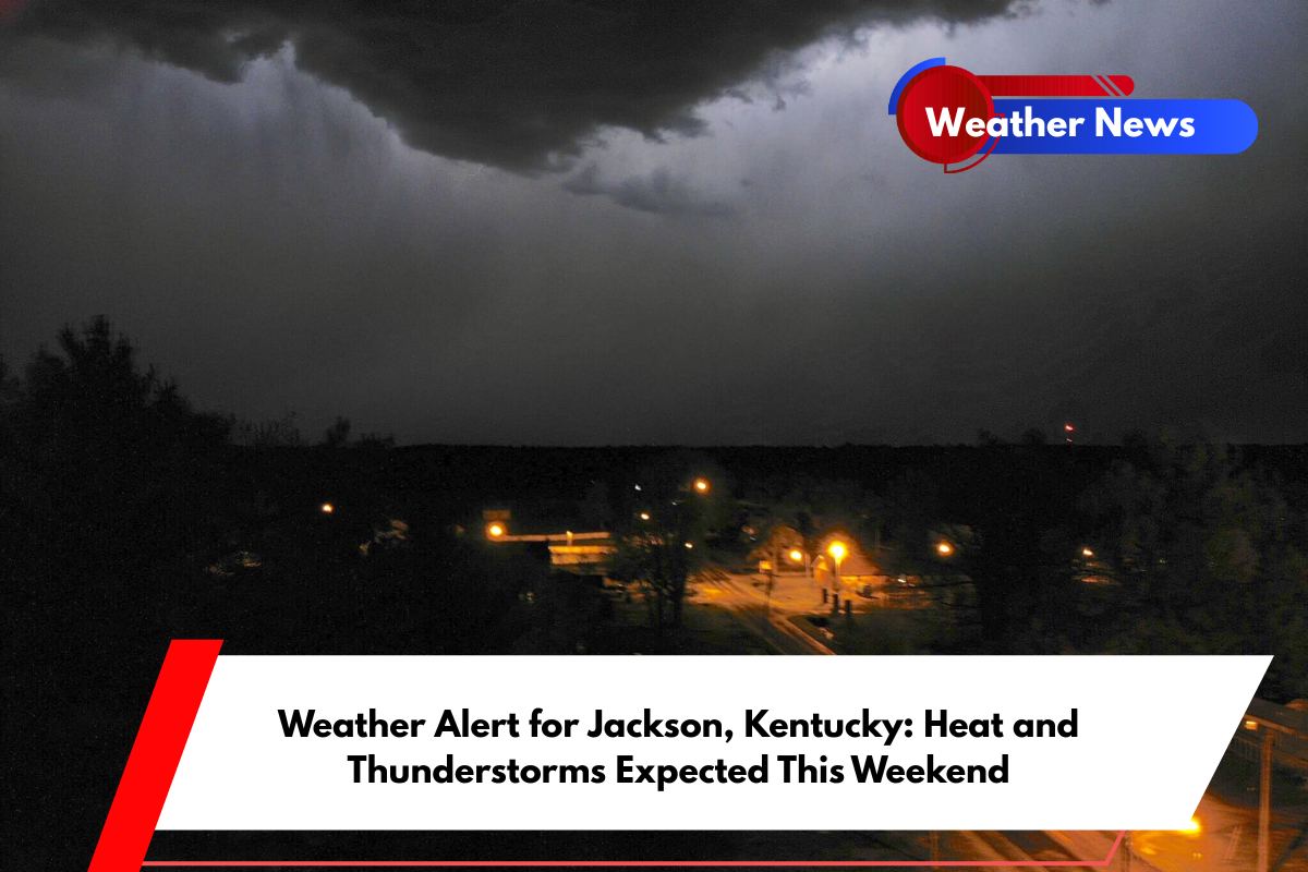
Jackson, Kentucky, is in for a hot and stormy weekend, as thunderstorms and dangerous heat are set to impact the region. Saturday’s weather will bring thunderstorms, heavy rainfall, and a heat index near 98°F. These conditions may create hazardous travel, especially along KY-15 and surrounding rural roads after 2 p.m.
Thunderstorms and Heat Set to Impact Jackson on Saturday
According to the National Weather Service in Jackson, Saturday will start with a 50% chance of showers before 11 a.m., followed by strong thunderstorms in the afternoon.
Temperatures will reach 88°F, but the humidity will make it feel much hotter, with a heat index nearing 98°F. Rainfall could exceed half an inch, and isolated downpours may lead to localized flooding, particularly in low-lying areas.
By evening, storms are expected to continue until around 8 p.m., followed by patchy fog that will reduce visibility for drivers out late. High humidity and calm winds will keep conditions muggy into Sunday.
Sunday and the Rest of the Weekend: More Heat and Storms Ahead
On Sunday, similar weather is expected, with a 50% chance of thunderstorms after 2 p.m. The high will be near 91°F, and humidity will make it feel even warmer. Overnight, patchy fog will continue to affect visibility.
The heat and storms will persist into Monday and Tuesday. Temperatures will remain near 89°F to 90°F, with a 70% chance of storms Monday night into Tuesday. This timing may affect early 4th of July travel plans, as the storms could disrupt travel conditions across the region.
Five-Day Forecast for Jackson, KY (June 27 – July 2)
Friday: High 93°F – Heat Advisory until 8 p.m., chance of evening storms.
Saturday: High 88°F – Thunderstorms after 11 a.m., fog by evening.
Sunday: High 91°F – Afternoon storms likely, muggy with patchy fog.
Monday: High 89°F – Showers and storms increase, especially after 8 p.m.
Tuesday: High 85°F – Showers likely early, clearing by afternoon with patchy morning fog.
Stay Safe and Be Weather-Aware
Jackson residents should be prepared for intense heat and the possibility of heavy rain and thunderstorms. Travel could become hazardous, especially in rural areas, and conditions will be muggy throughout the weekend.
Drivers should exercise caution, especially after storms when visibility may be reduced due to fog. With more thunderstorms expected in the coming days, stay informed and adjust plans accordingly to stay safe.


